

Ich bin die Tour von Gmund nach Gmund gefahren.
Ebenso ist aber Bad Tölz als Start/Ziel möglich
Hinweise:
- Lange Runde, kehrt oft ein (Schwarzentennalm, Glashütte, etc.)
- Nutzt vorzugsweise die Radwege neben den Bundesstraßen!
- Meinen linken Schlenker am Tegernsee müsst ihr nicht nachfahren
- In der Fußgängerzone Bad Tölz bitte absteigen (kauft Euch dafür als Ausgleich ein Eis)
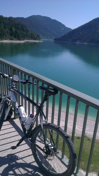
- Nehm die Badehose mit, es gibt viele Gelegenheiten ins Wasser zu springen :-)
Tour map and elevation profile
Minimum height 650 m
Maximum height 1032 m
More about the tour author
|
|
lynx80muc |
Comments

GPS tracks
Trackpoints-
GPX / Garmin Map Source (gpx) download
-
TCX / Garmin Training Center® (tcx) download
-
CRS / Garmin Training Center® (crs) download
-
Google Earth (kml) download
-
G7ToWin (g7t) download
-
TTQV (trk) download
-
Overlay (ovl) download
-
Fugawi (txt) download
-
Kompass (DAV) Track (tk) download
-
Track data sheet (pdf) download
-
Original file of the author (gpx) download
More about the tour author
|
|
lynx80muc |
Add to my favorites
Remove from my favorites
Edit tags
Open track
My score
Rate