


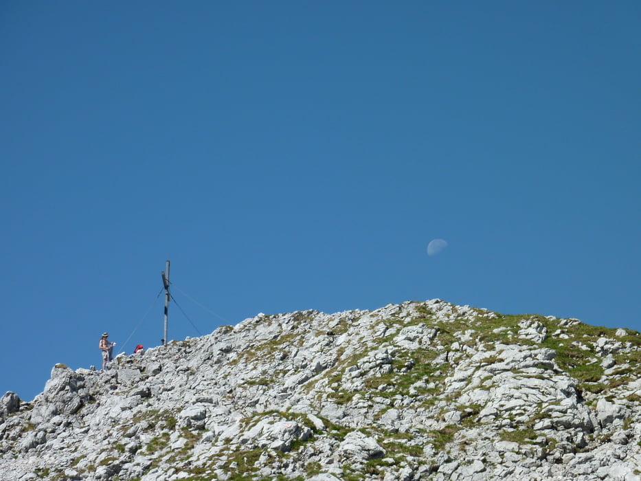
Mit dem Bike von Kufstein über die Tuxeralm zur Kaindlhütte, dann rein in die Wanderschuhe und auf dem Widdauersteig zum Scheffauer (sehr gut Seilversichert, Helm sollte man dabei haben).
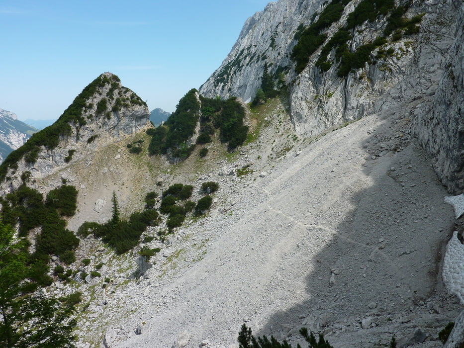
Ruckweg vom Scheffauer wie Aufstieg dann den Weg auf den Zettenkaiser in Angriff nehmen, dort ist nichts versichert und im Mittelteil sehr lose Steine und Geröll. Abstieg wie Aufstieg zur Hütte.
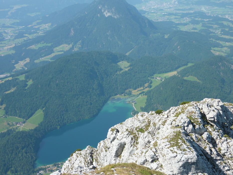
Abfahrt zum Brentenjoch und weiter zur Aschenbrennerhütte und lange Abfahrt nach Kufstein.
VIEL SPASS!!
Tour gallery
Tour map and elevation profile
Minimum height 501 m
Maximum height 2107 m
More about the tour author
|
|
markus-w |
Comments

Kufstein
GPS tracks
Trackpoints-
GPX / Garmin Map Source (gpx) download
-
TCX / Garmin Training Center® (tcx) download
-
CRS / Garmin Training Center® (crs) download
-
Google Earth (kml) download
-
G7ToWin (g7t) download
-
TTQV (trk) download
-
Overlay (ovl) download
-
Fugawi (txt) download
-
Kompass (DAV) Track (tk) download
-
Track data sheet (pdf) download
-
Original file of the author (gpx) download
More about the tour author
|
|
markus-w |
Add to my favorites
Remove from my favorites
Edit tags
Open track
My score
Rate