


Hallo.
Die Runde führt Euch durch die Harburger Berge
an einer Grabanlage aus der Steinzeit vorbei,
an einem Segelflugplatz und an der Fischbecker Heide.
Viel Spass.
Die Runde führt Euch durch die Harburger Berge
an einer Grabanlage aus der Steinzeit vorbei,
an einem Segelflugplatz und an der Fischbecker Heide.
Viel Spass.
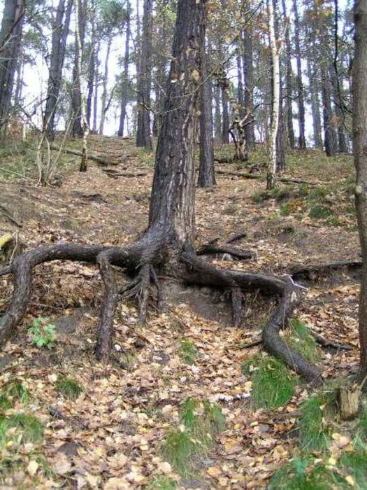
Tour gallery
Tour map and elevation profile
Minimum height 12 m
Maximum height 94 m
More about the tour author
|
|
julianernst |
Comments

Von der A7 Autobahnabfahrt HH/ Marmstorf-Lürade in Richtung Harburg. Auf der B75 bei der zweiten Ampel links auf den Parkplatz Gasthaus Eichenhof.Bitte als
Wegpunkt benutzen: Breitengrad 53,43645
Längengrad 9,93474 in Positionsformat UTM UPS.
Kartenbezugssystem WGS 84.
Wegpunkt benutzen: Breitengrad 53,43645
Längengrad 9,93474 in Positionsformat UTM UPS.
Kartenbezugssystem WGS 84.
GPS tracks
Trackpoints-
GPX / Garmin Map Source (gpx) download
-
TCX / Garmin Training Center® (tcx) download
-
CRS / Garmin Training Center® (crs) download
-
Google Earth (kml) download
-
G7ToWin (g7t) download
-
TTQV (trk) download
-
Overlay (ovl) download
-
Fugawi (txt) download
-
Kompass (DAV) Track (tk) download
-
Track data sheet (pdf) download
-
Original file of the author (gpx) download
More about the tour author
|
|
julianernst |
Add to my favorites
Remove from my favorites
Edit tags
Open track
My score
Rate