
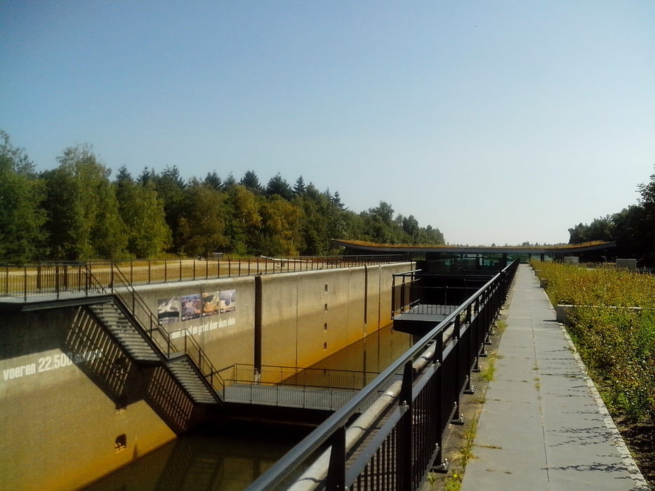

Die Schleuse ist stillgelegt und in ihr befindet sich ein Restaurant.
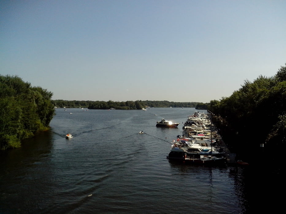
Wir gehen im Uhrzeigersinn um den oberen Teil des Leukermeers.
Jachthafen und Badestrände liegen auf dem Weg. Der meiste Zeit führen die Wege durch Wald.
Wir gehen im Uhrzeigersinn um den oberen Teil des Leukermeers.
Jachthafen und Badestrände liegen auf dem Weg. Der meiste Zeit führen die Wege durch Wald.
Further information at
http://www.leukermeer.nl/Tour gallery


Tour map and elevation profile
Minimum height -55 m
Maximum height 15 m
More about the tour author
|
|
lahnwinni |
Comments

In Kevelaer Richtung Well Fahren.
In Well rechts abbiegen auf die N271. Nach ca. 2km kommt man über eine Brücke. Kurz hinter der Brücke geht’s rechs ab zur Schleuse.
An der Schleuse gibt’s genügend Parkplätze.
GPS tracks
Trackpoints-
GPX / Garmin Map Source (gpx) download
-
TCX / Garmin Training Center® (tcx) download
-
CRS / Garmin Training Center® (crs) download
-
Google Earth (kml) download
-
G7ToWin (g7t) download
-
TTQV (trk) download
-
Overlay (ovl) download
-
Fugawi (txt) download
-
Kompass (DAV) Track (tk) download
-
Track data sheet (pdf) download
-
Original file of the author (gpx) download
More about the tour author
|
|
lahnwinni |
Add to my favorites
Remove from my favorites
Edit tags
Open track
My score
Rate