
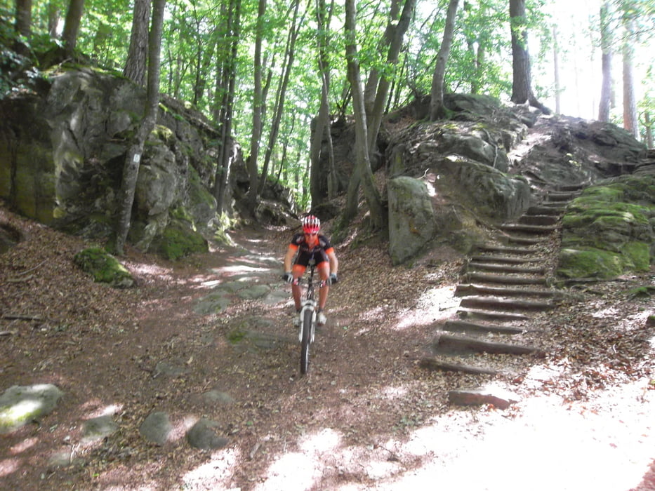

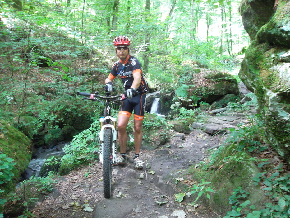
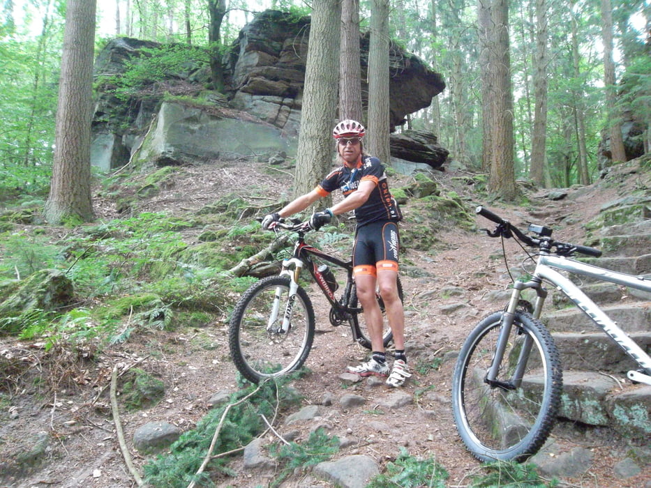
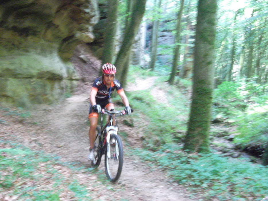
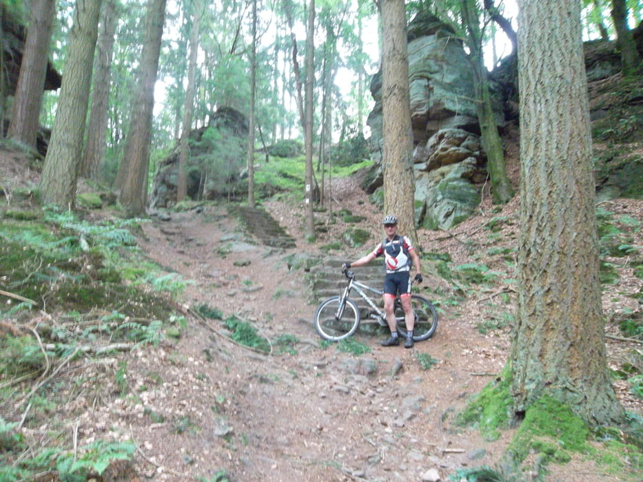
Deze tocht start bij de Jeugdherberg aan de Echtenacher See...en begin gelijk met 300 hoogtemeters bergop....75 % van de tocht zijn scitterende paadjes door het Mullerthal met zijn schitterende rots partijen....ook wel klein zwitserland genoemd.
Deze tocht het beste niet in het weekend doen,vanwege de vele wandelaars in dit gebied!
This tour starts at the youth hostel to the echtenacher See ... and begin with 300 vertical meters uphill .... 75% of the tour are wonderful paths through the Mullerthal with its beautiful rock formations .... also called little Switzerland.
This tour is best not to do on the weekend, because of the many walkers in this area!
Die Tour beginnt in der Jugendherberge bei den Echtenacher See ... und beginnen mit 300 Höhenmeter bergauf .... 75% der tour sind wunderbare Wege durch das Müllerthal mit seinen schönen Felsformationen .... auch als kleine Schweiz bekant
Diese Tour ist am besten nicht am Wochenende zu tun, wegen der vielen Wanderer in diesem Bereich!
Further information at
http://youthhostels.lu/echternach/34_EN.htmlTour gallery
Tour map and elevation profile
Minimum height 163 m
Maximum height 428 m
More about the tour author
|
|
BertAusten |
Comments

Youth Hostels
Chemin vers Rodenhof
L-6487 Echternach
GPS tracks
Trackpoints-
GPX / Garmin Map Source (gpx) download
-
TCX / Garmin Training Center® (tcx) download
-
CRS / Garmin Training Center® (crs) download
-
Google Earth (kml) download
-
G7ToWin (g7t) download
-
TTQV (trk) download
-
Overlay (ovl) download
-
Fugawi (txt) download
-
Kompass (DAV) Track (tk) download
-
Track data sheet (pdf) download
-
Original file of the author (gpx) download
More about the tour author
|
|
BertAusten |
Add to my favorites
Remove from my favorites
Edit tags
Open track
My score
Rate