Login

Forgot your login?

Cookies have to be accepted!
Your browser's cookie functionality is disabled. Please enable this functionality.

Not a member yet?

Register now
Login

Available for registred users only

Log in to use this feature.

Forgot your login?

Cookies have to be accepted!
Your browser's cookie functionality is disabled. Please enable this functionality.

Not a member yet?

Register now
Filter
Categories
Advanced filters
  • Distance (km)
  • Height
Save filters Reset filter

TrackRank

QRCode

Technical data

Distance28,5 km Height1061 m Way down1091 m Duration03:00 h:m Date07.08.2013
Scores Author User Landscape Fun factor Fitness Technique

Statistics

419 Views 1 Score 109 Downloads 5.00 Average
Rate
  • Track data sheet
  • Directions
  • Downloads


Further information at

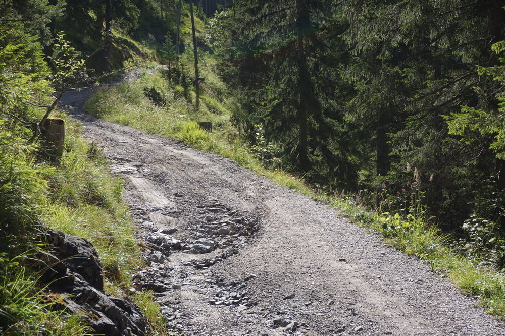
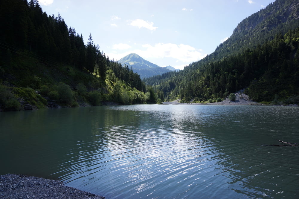
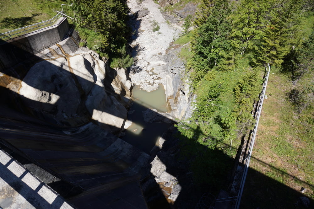
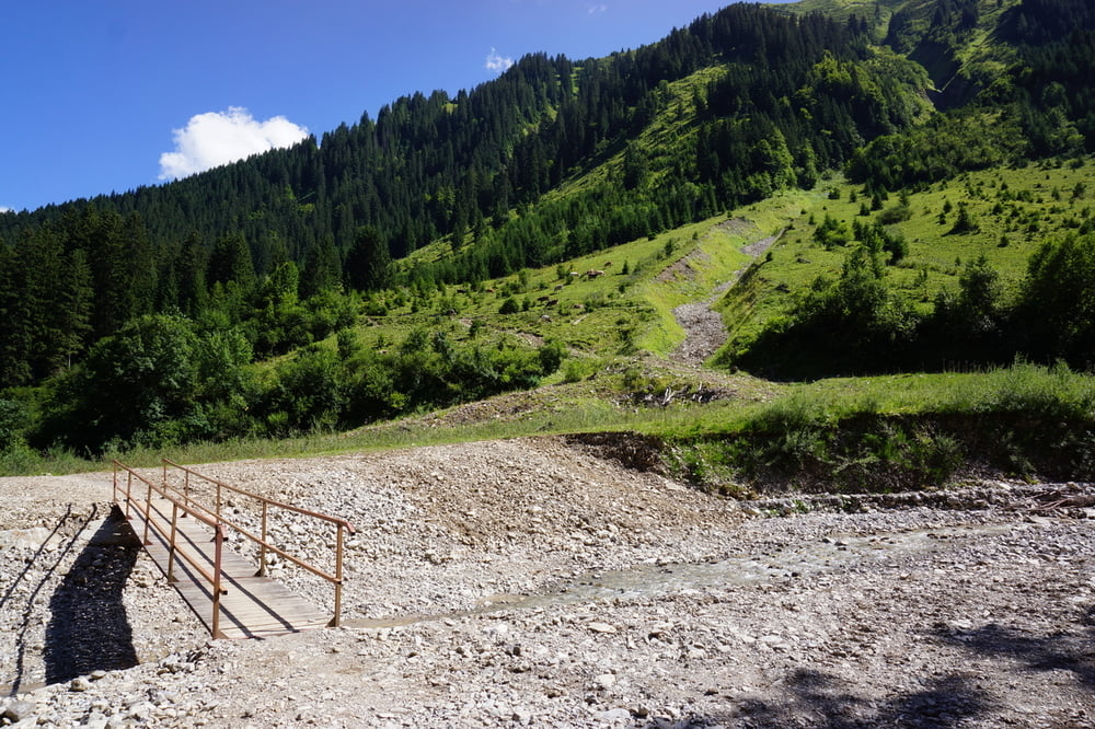
http://www.mijnwebwinkel.nl/winkel/sabannusgadgets

Tour gallery

Tour map and elevation profile

  • Open Street Map
  • Google
Minimum height 885 m Maximum height 1372 m Detailed view

More about the tour author

andre593
Member since 2003

Send private message

Comments

GPS tracks

Trackpoints
  • GPX / Garmin Map Source (gpx) download
  • TCX / Garmin Training Center® (tcx) download
  • CRS / Garmin Training Center® (crs) download
  • Google Earth (kml) download
  • G7ToWin (g7t) download
  • TTQV (trk) download
  • Overlay (ovl) download
  • Fugawi (txt) download
  • Kompass (DAV) Track (tk) download
  • Track data sheet (pdf) download
  • Original file of the author (gpx) download

More about the tour author

andre593
Member since 2003

Send private message
Share track
Add to my favorites
Remove from my favorites
Edit tags
My score
Rate
Track: Rond de Thaneller, Berwang
Type: Mountain bike
Distance: 28,5 km
Evaluated on:
Duration:
Day(s)
Hour(s)
Minute(s)
Score: Landscape Fun factor Fitness Technique