


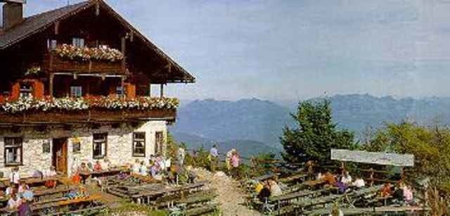
Vom Gasthof Schneeberg bis zur bewirtschafteten Kala-Alm, von dort zum "Kufsteiner Haus" auf dem Pendling-Gipfel. Durchgängig breiter und angenehmer Forstweg. Abstieg gleich wie Aufstieg oder über gelegentliche Abkürzungen durch den Wald.
Tour gallery
Tour map and elevation profile
Minimum height 1016 m
Maximum height 1539 m
More about the tour author

|
Comments

Inntalautobahn Ausfahrt Kufstein-Nord. Gleich nach dem Kreisel rechts halten, weiter bis nach Thiersee fahren, dort im Zentrum bei der Kreuzung (rechts nach Landl) nach links abbiegen, den Berg hinauf und im Ortsteil Mitterland bei der Telefonzelle links Richtung Schneeberg abbiegen, ab hier hinauf bis zum Gasthof Schneeberg und dort parken.
GPS tracks
Trackpoints-
GPX / Garmin Map Source (gpx) download
-
TCX / Garmin Training Center® (tcx) download
-
CRS / Garmin Training Center® (crs) download
-
Google Earth (kml) download
-
G7ToWin (g7t) download
-
TTQV (trk) download
-
Overlay (ovl) download
-
Fugawi (txt) download
-
Kompass (DAV) Track (tk) download
-
Track data sheet (pdf) download
-
Original file of the author (g7t) download
More about the tour author
|
|
Add to my favorites
Remove from my favorites
Edit tags
Open track
My score
Rate