


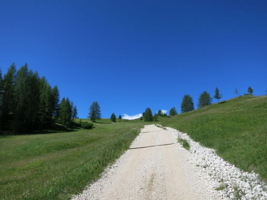
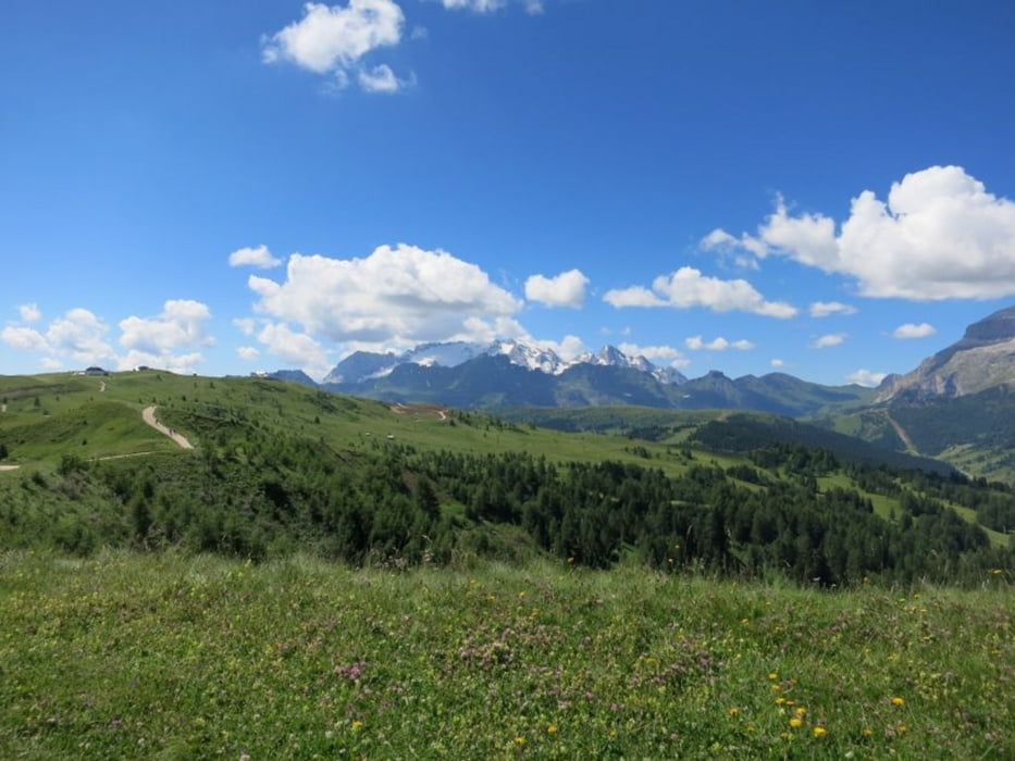
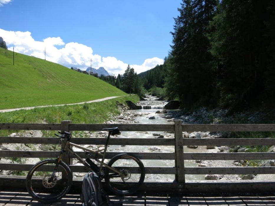
Los gehts nahe Armentarola, dann nach St. Kassian, bei der Talstation der Piz Sorega Bahn biegen wir auf Weg Nr. 21/22 ab und folgen Nr 22 zur Saraghes-Hütte (immer eine Empfehlung zur Einkehr) und weiter zu Pre da Curt nahe der Pralongia-Hütte. Dann gehts weiter auf Weg Nr. 23 "Tru Panoramich" - der Name weist schon auf das traumhafte Panorama hin via Biok Hütte dann über Weg Nr. 4 zur La Freina Hütte. Nun rechts über Weg Nr. 4 talwärts in Richtung La Villa. Von LA Villa entlang Gaderbach auf Weg Nr. 11 wieder retour via St. Kassian zum Ausgangspunkt.
Tour gallery
Tour map and elevation profile
Minimum height 1422 m
Maximum height 2095 m
More about the tour author
|
|
Joe911 |
Comments

GPS tracks
Trackpoints-
GPX / Garmin Map Source (gpx) download
-
TCX / Garmin Training Center® (tcx) download
-
CRS / Garmin Training Center® (crs) download
-
Google Earth (kml) download
-
G7ToWin (g7t) download
-
TTQV (trk) download
-
Overlay (ovl) download
-
Fugawi (txt) download
-
Kompass (DAV) Track (tk) download
-
Track data sheet (pdf) download
-
Original file of the author (gpx) download
More about the tour author
|
|
Joe911 |
Add to my favorites
Remove from my favorites
Edit tags
Open track
My score
Rate