


Krožen izlet na Maloško Poldne z izhodiščem pri hotelu
Baumgartnerhof: vzpon po poti 683 mimo lovske koče Mitzl Moitzl Hütte, spust po poti 684.
Further information at
http://potepanja-v-naravi.blogspot.com/2013/07/malosko-poldne-mallestiger-mittagskogel.htmlTour gallery
Tour map and elevation profile
Minimum height 858 m
Maximum height 1821 m
More about the tour author
|
|
ExAmigan |
Comments

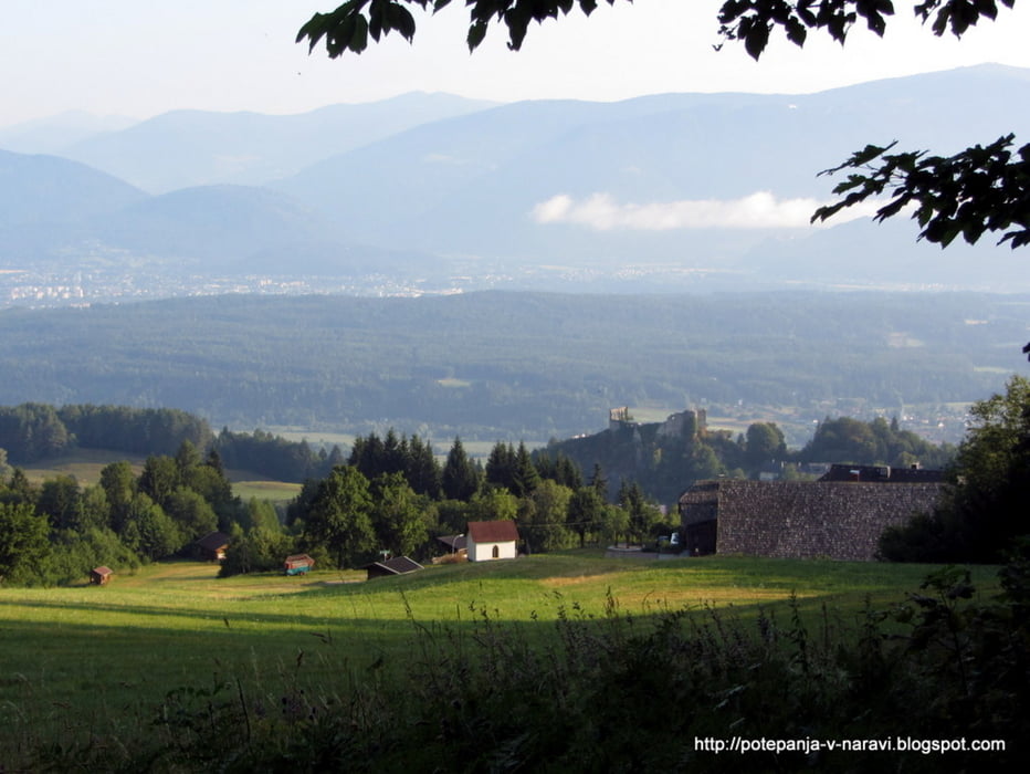
Po spustu s Korenskega sedla zavijemo desno proti Beljaku, nato pa tik pred železniško progo spet zavijemo deno proti Baškemu jezeru. V Bekštajnu opazimo tablo za hotel Baumgartnerhof, ki nas od tu naprej v vsakem križišču pravilno usmerijo, vse dokler ne dosežemo parkirišča nasproti hotela.
GPS tracks
Trackpoints-
GPX / Garmin Map Source (gpx) download
-
TCX / Garmin Training Center® (tcx) download
-
CRS / Garmin Training Center® (crs) download
-
Google Earth (kml) download
-
G7ToWin (g7t) download
-
TTQV (trk) download
-
Overlay (ovl) download
-
Fugawi (txt) download
-
Kompass (DAV) Track (tk) download
-
Track data sheet (pdf) download
-
Original file of the author (gpx) download
More about the tour author
|
|
ExAmigan |
Add to my favorites
Remove from my favorites
Edit tags
Open track
My score
Rate