


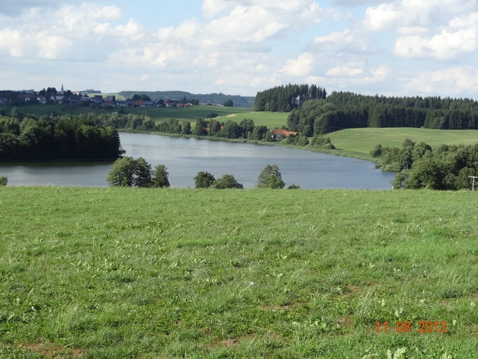
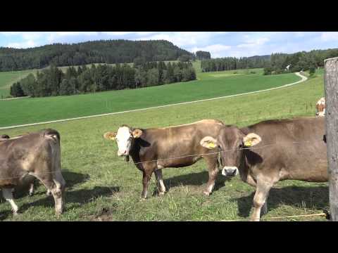
Start und Ziel ist die Dettinger Festhalle. Die Landschaft um Leutkirch ist richtig allgäuerisch. Hügelig, wellig, Kühe weiden, die Sonne scheint, es sind herrlich weiße Wolken am blauen Himmel.
Der Weg hier her führt größtenteils auf schmalen Nebenwegen her. Da heisst es aufpassen!
Radfahrer haben absolute Vorfahrt und sollen respektiert werden!
Mit ganz kleinen Abwandlungen kann diese Tour mit dem Rennrad befahren werden oder ist zum Fahrrad Touring geeignet.
Wenn man dazu noch so ein Wetter wie heute hat dann ist der Spaß und Genuß riesengroß.
In Übersee liegt eine kleine Wirtschaft zum Rasten oder man kehrt in Nestbaum ein, da gibt es gut gebratene Gockel, kleiner Wehrmutstropfen - nur am Wochenende geöffnet.
Dettingen - Rot an der Rot - Haslach - Treherz - Leutkirch - Ellerazhofer Weiher - Aitrach - Tannheim - Berkheim - Erolzheim - Dettingen
71-1-21072018
Further information at
http://www.schenie.deTour gallery
Tour map and elevation profile
Minimum height 509 m
Maximum height 775 m
More about the tour author
|
|
schenie |
Comments

Von A nach B...
mit der Gummikuh
Tankrucksack dabei
71-1-21072018
GPS tracks
Trackpoints-
GPX / Garmin Map Source (gpx) download
-
TCX / Garmin Training Center® (tcx) download
-
CRS / Garmin Training Center® (crs) download
-
Google Earth (kml) download
-
G7ToWin (g7t) download
-
TTQV (trk) download
-
Overlay (ovl) download
-
Fugawi (txt) download
-
Kompass (DAV) Track (tk) download
-
Track data sheet (pdf) download
-
Original file of the author (gpx) download
More about the tour author
|
|
schenie |
Add to my favorites
Remove from my favorites
Edit tags
Open track
My score
Rate