


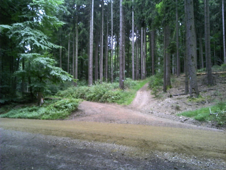
Schöne kleine Runde durch den Taunuswald. Gestartet von der Polizeiakademie in der Schönerbergerstraße in über den Golfplatz weiter hoch in Richtung Bahnhof Eiserne Hand und kurz vorher Richtung Fernsehturm. Unterhalb vom Fernsehturm auf einem sehr schönen Trail am Hessen Forst vorbei zurück zum Ausgangspunkt zurück
Further information at
http://www.wiesbaden.de/Tour gallery
Tour map and elevation profile
Minimum height 248 m
Maximum height 601 m
More about the tour author
|
|
wwwsi07de |
Comments

Startpunkt ist Höhe der Polizeiakademie Wiesbaden, Schönbergerstraße 100
GPS tracks
Trackpoints-
GPX / Garmin Map Source (gpx) download
-
TCX / Garmin Training Center® (tcx) download
-
CRS / Garmin Training Center® (crs) download
-
Google Earth (kml) download
-
G7ToWin (g7t) download
-
TTQV (trk) download
-
Overlay (ovl) download
-
Fugawi (txt) download
-
Kompass (DAV) Track (tk) download
-
Track data sheet (pdf) download
-
Original file of the author (gpx) download
More about the tour author
|
|
wwwsi07de |
Add to my favorites
Remove from my favorites
Edit tags
Open track
My score
Rate