


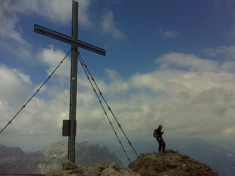
Kiindulópont a Karlsbader hütte ahová 2 órányi gyaloglással jutsz el a Dolomitenhütte parkolójából.
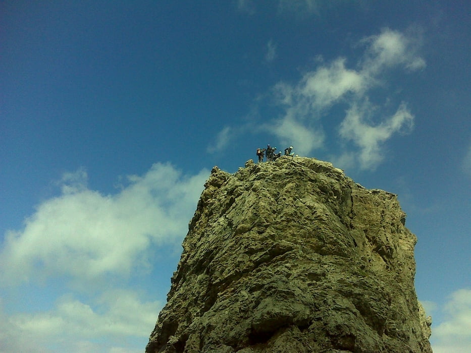
A túrához kb. 7 óra kell, de összeköthető a Laser klettersteigel ami plusz 2 óra, viszont a nehézségi foka sokszor D mig a Panorama maximum C de többnyire B.
A lefelé utat / Gebirgsjager weg/ nehezen találtuk, végül is csak odatévedtünk.
Szuper túra, és a környéken még rengeteg van. Ezekről a Karlsbaderhütte honlapján olvashattok.
Tour gallery


Tour map and elevation profile
Minimum height 2253 m
Maximum height 2782 m
More about the tour author

|
anyosati |
Comments

GPS tracks
Trackpoints-
GPX / Garmin Map Source (gpx) download
-
TCX / Garmin Training Center® (tcx) download
-
CRS / Garmin Training Center® (crs) download
-
Google Earth (kml) download
-
G7ToWin (g7t) download
-
TTQV (trk) download
-
Overlay (ovl) download
-
Fugawi (txt) download
-
Kompass (DAV) Track (tk) download
-
Track data sheet (pdf) download
-
Original file of the author (gpx) download
More about the tour author
|
|
anyosati |
Add to my favorites
Remove from my favorites
Edit tags
Open track
My score
Rate