Login

Forgot your login?

Cookies have to be accepted!
Your browser's cookie functionality is disabled. Please enable this functionality.

Not a member yet?

Register now
Login

Available for registred users only

Log in to use this feature.

Forgot your login?

Cookies have to be accepted!
Your browser's cookie functionality is disabled. Please enable this functionality.

Not a member yet?

Register now
Filter
Categories
Advanced filters
  • Distance (km)
  • Height
Save filters Reset filter

TrackRank

QRCode

Technical data

Distance58,3 km Height1713 m Way down1727 m Duration05:15 h:m Date15.08.2013
Scores Author Landscape Fun factor Fitness Technique

Statistics

593 Views Scores 29 Downloads Average
Rate
  • Track data sheet
  • Directions
  • Downloads
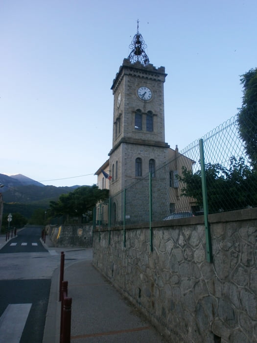
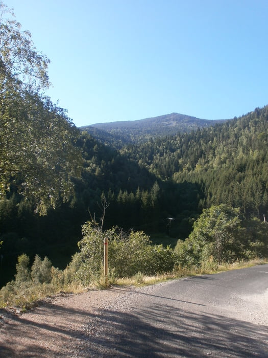
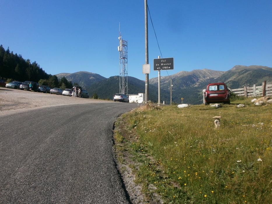
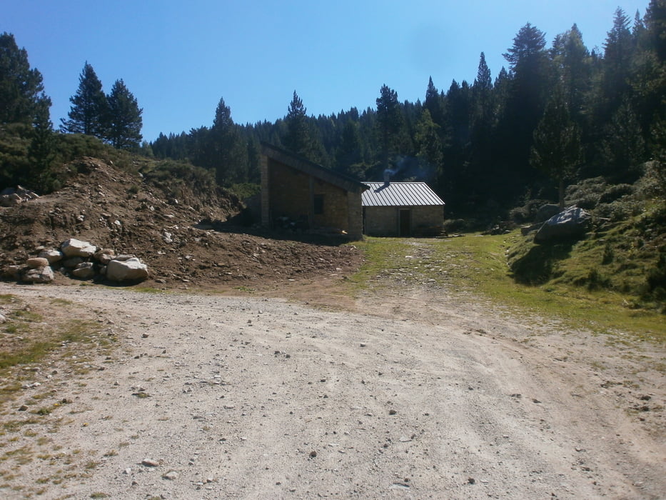
Tour mit viele Höhenmeter, bis der "Col de Mantet" (1760m) alsphatiert, dann eine steinige Piste mit der "refuge da Silva" (1911m). Auf die Piste werden die 2000 Höhenmeter erreicht. Der Aufstieg ist zum aufwärmen bis dem Ortseinfahrt von "Py" einfach, danach ist es bis der Col de Mantet wesentlisch schwieriger. Die Fahrt auf die Piste ist nicht so steil, damit ist es aber wegen viele Steine holprig.

Tour gallery

Tour map and elevation profile

  • Open Street Map
  • Google
Minimum height 450 m Maximum height 1993 m Detailed view

More about the tour author

francbalt
Member since 2011

Send private message

Comments

GPS tracks

Trackpoints
  • GPX / Garmin Map Source (gpx) download
  • TCX / Garmin Training Center® (tcx) download
  • CRS / Garmin Training Center® (crs) download
  • Google Earth (kml) download
  • G7ToWin (g7t) download
  • TTQV (trk) download
  • Overlay (ovl) download
  • Fugawi (txt) download
  • Kompass (DAV) Track (tk) download
  • Track data sheet (pdf) download
  • Original file of the author (gpx) download

More about the tour author

francbalt
Member since 2011

Send private message
Share track
Add to my favorites
Remove from my favorites
Edit tags
My score
Rate
Track: Col de Mantet - Refuge de da Silva
Type: Mountain bike
Distance: 58,3 km
Evaluated on:
Duration:
Day(s)
Hour(s)
Minute(s)
Score: Landscape Fun factor Fitness Technique