


Schöne Stichtour:
- Valepper Straße hinauffahren
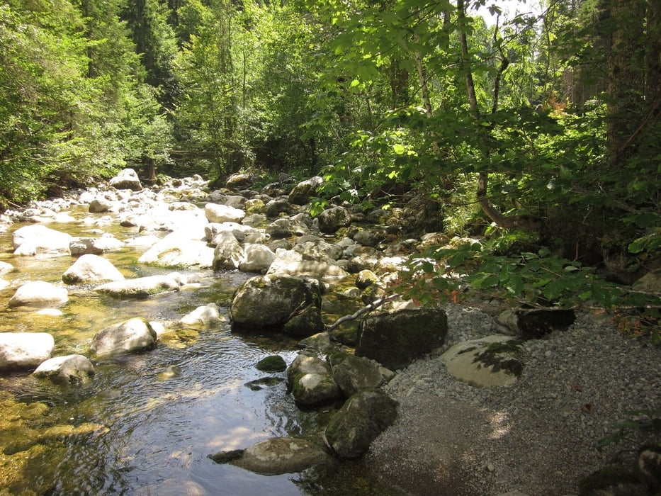
- nach 10 km links abbiegen Richtung Spitzingsee oder Abstecher geradeaus zum Forsthaus Valepp (Einkehrmöglichkeit), dann zurück und rechts abbiegen Richtung Spitzingsee
- bei Verlassen des Waldes schöner Blick zum Albert-Link-Haus. Geradeaus weiter oder Abstecher links zum Blecksteinhaus (Einkehrmöglichkeit)
- links um den Spitzingsee herum (Bademöglichkeit!), dann hinter dem Haus Bergsee links hinauf zur Unteren Firstalm
- von der Firstalm den ganzen Weg wieder zurückrauschen.
Further information at
http://www.untere-firstalm.de/index.htmTour gallery
Tour map and elevation profile
Minimum height 769 m
Maximum height 1322 m
More about the tour author

|
papamidas |
Comments

mit dem PKW nach Enterrottach zum Beginn der Valepper Mautstraße
- kostenlos Parken am großen Parkplatz links vor der Schranke zur Mautstraße
GPS tracks
Trackpoints-
GPX / Garmin Map Source (gpx) download
-
TCX / Garmin Training Center® (tcx) download
-
CRS / Garmin Training Center® (crs) download
-
Google Earth (kml) download
-
G7ToWin (g7t) download
-
TTQV (trk) download
-
Overlay (ovl) download
-
Fugawi (txt) download
-
Kompass (DAV) Track (tk) download
-
Track data sheet (pdf) download
-
Original file of the author (gpx) download
More about the tour author
|
|
papamidas |
Add to my favorites
Remove from my favorites
Edit tags
Open track
My score
Rate