


Abwechslungsreich: Kinding - Anlautertal - Weißenburg - Treuchtlingen
Von Kinding aus folgen wir der Ausschilderung nach Titting, dann weiter bis Nennslingen, links ab nach Burgsaalach und weiter über Oberhochstätt und Weißenburg nach Treuchtlingen.
Es wird auf Straßen und separaten feinschottrigen Wegen gefahren. Besonders schön ist das Tal zwischen Titting und Nennslingen. Eine starke Steigung gibt es von Nennslingen zur Jurahöhe hinauf., ein starkes Gefälle in Oberhochstatt.
In Kinding, Weißenburg und Treuchtlingen besteht Bahnanschuß.
Sehenswertes:
- Kinding: Wehrkirche 14. Jh
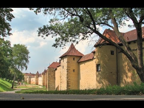
- Burgsaalach: Reste des Limes, römischer Burgus, Informationstafeln.
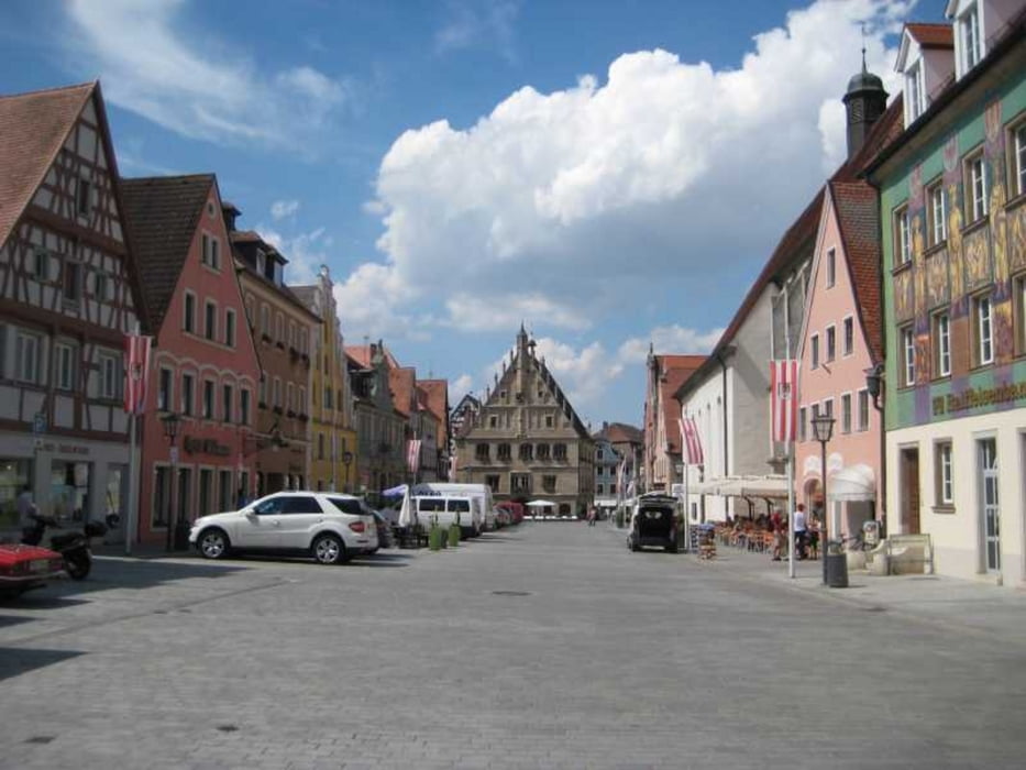
- Weißenburg: Altstadt , Stadtor, römische Therme, Wülzburg.
- Graben: Der "Fossa Carolina" (Kanalbau aus dem 8. Jh), Europäische Wasserscheide
Further information at
http://www.naturpark-altmuehltal.de/routen/anlautertal-radweg-200/Tour gallery


Tour map and elevation profile
Minimum height 371 m
Maximum height 587 m
More about the tour author

|
freisnger |
Comments

GPS tracks
Trackpoints-
GPX / Garmin Map Source (gpx) download
-
TCX / Garmin Training Center® (tcx) download
-
CRS / Garmin Training Center® (crs) download
-
Google Earth (kml) download
-
G7ToWin (g7t) download
-
TTQV (trk) download
-
Overlay (ovl) download
-
Fugawi (txt) download
-
Kompass (DAV) Track (tk) download
-
Track data sheet (pdf) download
-
Original file of the author (gpx) download
More about the tour author
|
|
freisnger |
Add to my favorites
Remove from my favorites
Edit tags
Open track
My score
Rate