


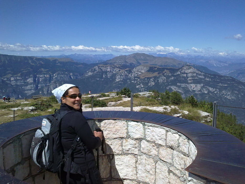
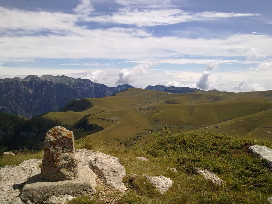
Escursione letteralmente memorabile attraverso gli ambienti dell’altopiano della Lessinia. Ombrose faggete che nascondono veri e propri monumenti vegetali, antiche e affascinanti malghe, pascoli infiniti che come un mare d’erba si perdono all’orizzonte e panorami mozzafiato sono gli ingredienti di questo giro.
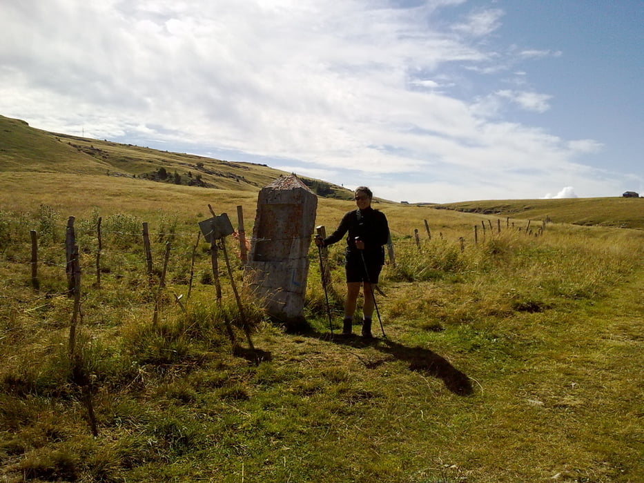
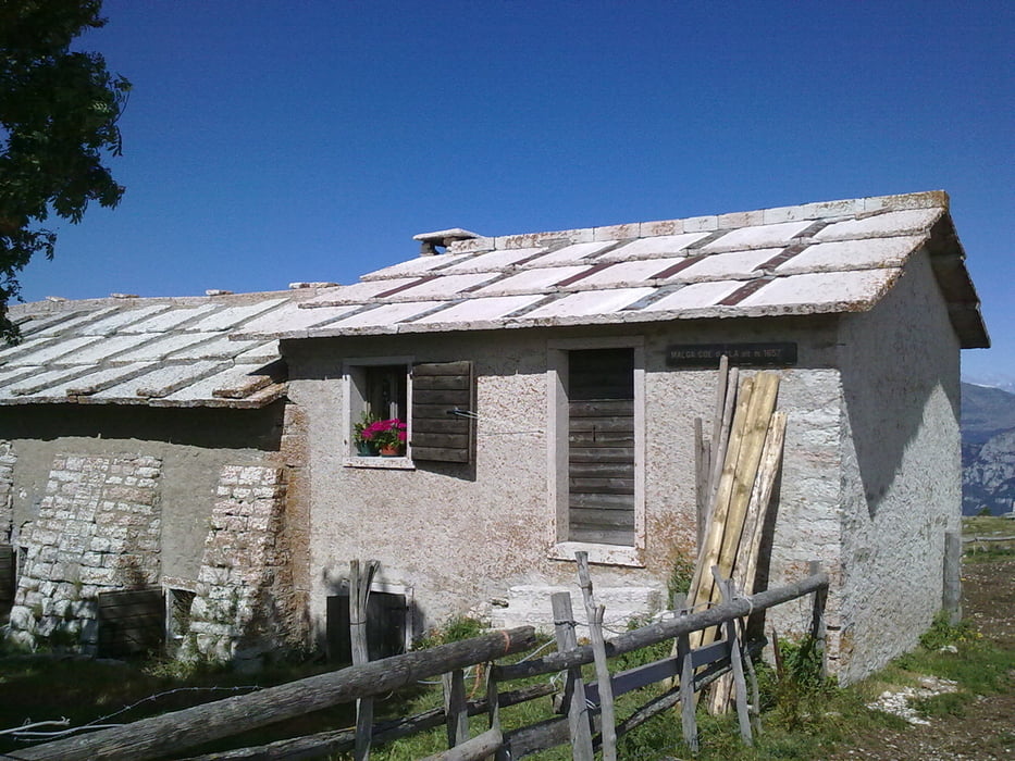
Itinerario: Pressi di Malga Maia – Malga Lavacchione – Malga Coe di Ala – Monte Castelberto – Malga Lessinia – Campo Ritratto – Malga Lavacchietto – Malga Maia.
Tour gallery
Tour map and elevation profile
Minimum height 1251 m
Maximum height 1760 m
More about the tour author
|
|
FOLAMOUR |
Comments

Come arrivare: Uscita autostradale Ala/Avio sulla A22. Da Ala si percorre la SS12 in direzione Verona. Giunti in località Sdruzzinà si prende a sinistra la S.P. 211 che sale ripidamente. Poco prima di giungere alla località La Sega si prende a sinistra una strada sterrata che conduce alle malghe Maia e Lavacchione (indicazioni). Dopo un paio di chilometri, in prossimità della deviazione per malga Maia, si parcheggia a bordo strada.
GPS tracks
Trackpoints-
GPX / Garmin Map Source (gpx) download
-
TCX / Garmin Training Center® (tcx) download
-
CRS / Garmin Training Center® (crs) download
-
Google Earth (kml) download
-
G7ToWin (g7t) download
-
TTQV (trk) download
-
Overlay (ovl) download
-
Fugawi (txt) download
-
Kompass (DAV) Track (tk) download
-
Track data sheet (pdf) download
-
Original file of the author (gpx) download
More about the tour author
|
|
FOLAMOUR |
Add to my favorites
Remove from my favorites
Edit tags
Open track
My score
Rate