


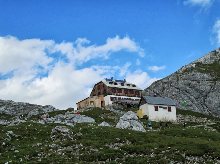
Tag 1: Anreise und Aufstieg vom GH Feisterer bis Guttenberghütte (2,5std)
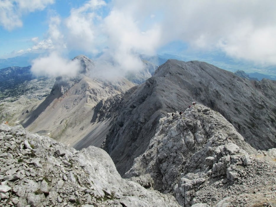
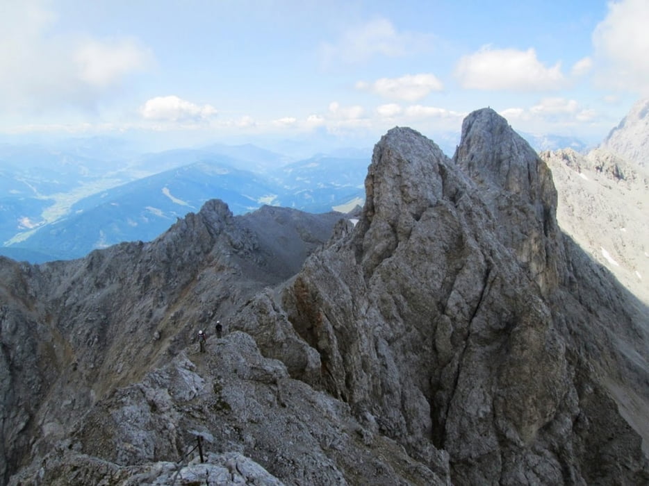
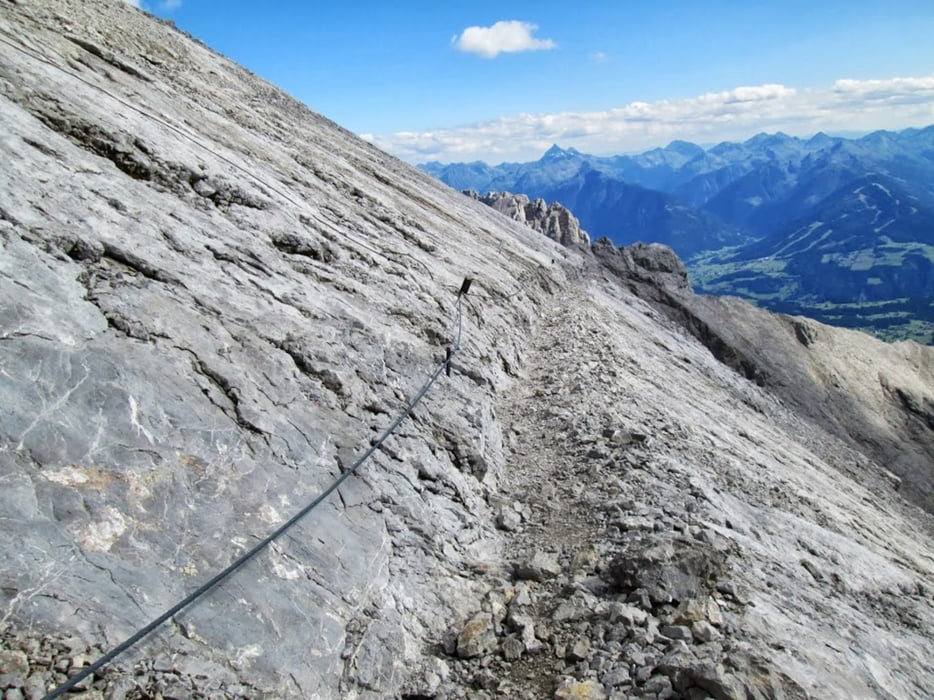
Tag 2: Ramsauer Klettersteig (Schwierigkeitsgrad C mit höchstem Punkt Scheichenspitz) - danach Wanderweg über Hunerscharte und Edelgrießgletscher durch Rosmarienstollen auf Bergstation (etwa 6 Stunden ohne Pausenzeit bei langsamer Klettersteiggeschwindigkeit), mit Seilbahn zurück zur Talstation und Taxi/Bus zu GH Feisterer
Tour gallery
Tour map and elevation profile
Minimum height 1042 m
Maximum height 2687 m
More about the tour author

|
manolf80 |
Comments

Schladming - Ramsau - Parkplatz Gh Feisterer (8972 Ramsau am Dachstein 35)
GPS tracks
Trackpoints-
GPX / Garmin Map Source (gpx) download
-
TCX / Garmin Training Center® (tcx) download
-
CRS / Garmin Training Center® (crs) download
-
Google Earth (kml) download
-
G7ToWin (g7t) download
-
TTQV (trk) download
-
Overlay (ovl) download
-
Fugawi (txt) download
-
Kompass (DAV) Track (tk) download
-
Track data sheet (pdf) download
-
Original file of the author (gpx) download
More about the tour author
|
|
manolf80 |
Add to my favorites
Remove from my favorites
Edit tags
Open track
My score
Rate