


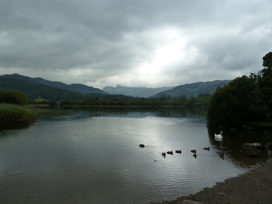
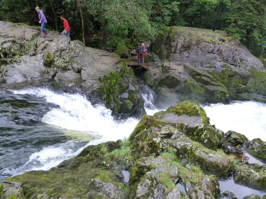
This hiking tour starts at the THREE SHIRES INN at Little Langdale and takes you on a round trip into Great Langdale to Elter Water. On the way you will get beautiful views along the way, and you will visit Colwith Force, the falls of river Brathay in Great Langdale. It's not as spectacular as reaching the summit of one of the surrounding lakeland fells, but it's a nice alternative for days with cloudy weather.
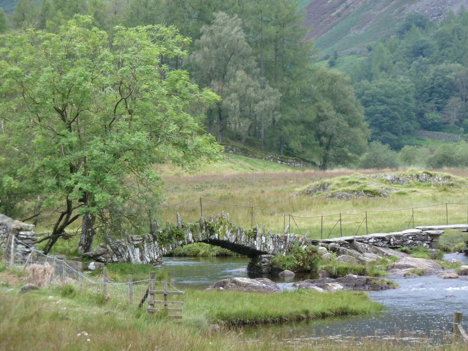
As an additional highlight, you will cross the old Slater Bridge at Little Langdale!
Parking in Little Langdale is rather restricted. If you do not have lodging at the THREE SHIRES INN, I would suggest to go to one of the bigger National Trust parking lots in Great Langdale.
Refreshments are available at several inns and hotels on the way.
Further information at
http://en.wikipedia.org/wiki/Great_LangdaleTour gallery
Tour map and elevation profile
Minimum height 58 m
Maximum height 169 m
More about the tour author
|
|
Kretakulk |
Comments

If you do not have lodging in Little Langdale or Great Langdale, take the road between Ambleside and Conniston. Great Langdale will be signposted along the way.
GPS tracks
Trackpoints-
GPX / Garmin Map Source (gpx) download
-
TCX / Garmin Training Center® (tcx) download
-
CRS / Garmin Training Center® (crs) download
-
Google Earth (kml) download
-
G7ToWin (g7t) download
-
TTQV (trk) download
-
Overlay (ovl) download
-
Fugawi (txt) download
-
Kompass (DAV) Track (tk) download
-
Track data sheet (pdf) download
-
Original file of the author (gpx) download
More about the tour author
|
|
Kretakulk |
Add to my favorites
Remove from my favorites
Edit tags
Open track
My score
Rate