


Schöne anstrengende Tour ab Turtmann.
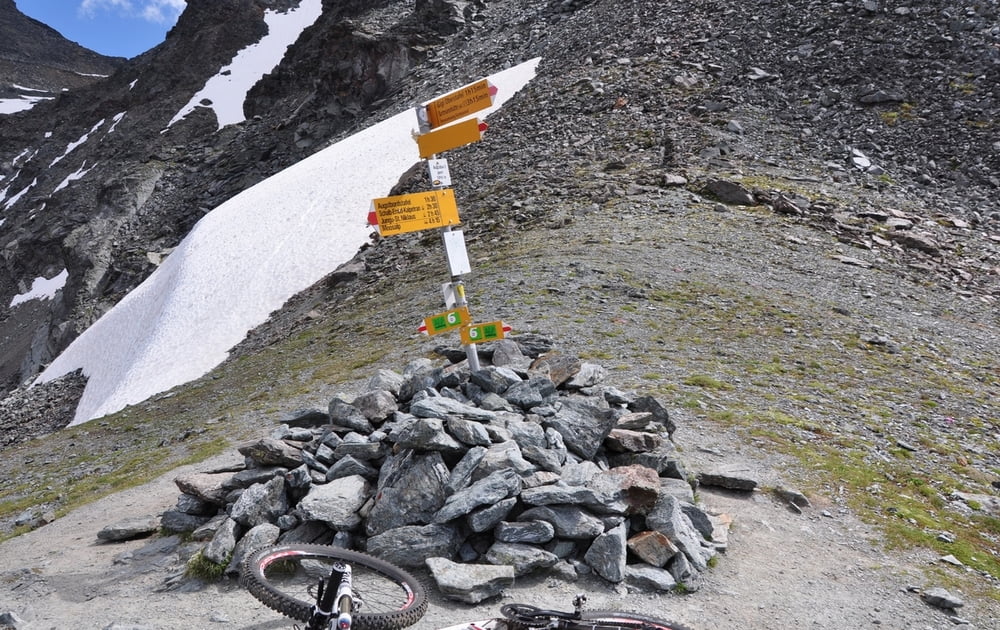
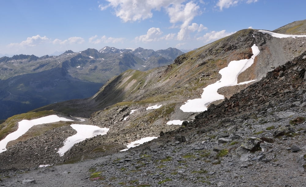
Hoch zum Augstbordpass passiert man die berühmte Wasserleite, mit ein paar Tunneln. Lange Schiebe und Targestrecke hoch zum Pass, 1.000hm Abfahrt nach Gruben und noch mal ein paar hundert hm hinab ins Tal.
Further information at
http://randypanguitch.wordpress.com/randy-panguitch-startseite/mtb-touren/tagestouren/tagestouren_schweiz/tt_ch_augstbordpass/Tour gallery
Tour map and elevation profile
Minimum height 583 m
Maximum height 2891 m
More about the tour author
|
|
RandB |
Comments

Parken in Turtmann am Bahnhof
GPS tracks
Trackpoints-
GPX / Garmin Map Source (gpx) download
-
TCX / Garmin Training Center® (tcx) download
-
CRS / Garmin Training Center® (crs) download
-
Google Earth (kml) download
-
G7ToWin (g7t) download
-
TTQV (trk) download
-
Overlay (ovl) download
-
Fugawi (txt) download
-
Kompass (DAV) Track (tk) download
-
Track data sheet (pdf) download
-
Original file of the author (gpx) download
More about the tour author
|
|
RandB |
Add to my favorites
Remove from my favorites
Edit tags
Open track
My score
Rate