
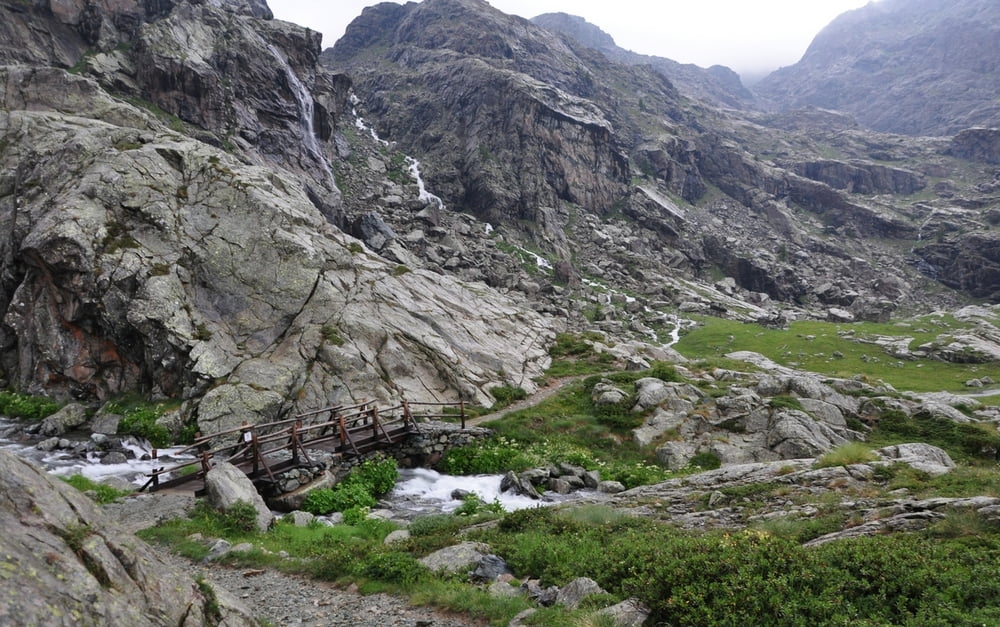

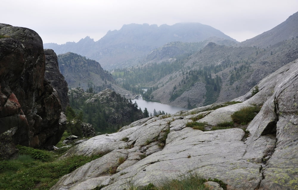
Umrundung des Monte Glacier bei Champorcher.
Beschreibung siehe Link
Further information at
http://randypanguitch.wordpress.com/randy-panguitch-startseite/mtb-touren/tagestouren/tagestouren_italien/tt_i_monte_glacier/Tour gallery
Tour map and elevation profile
Minimum height 1417 m
Maximum height 2934 m
More about the tour author
|
|
RandB |
Comments

Aus dem Aostatal die kurvenreiche Straße hoch, bis diese endet. Vor Champorcher, am Spielplatz gibt es Parkplätze.
Man kann auch die Teerstraße des Tracks weiter hoch fahren, bis das Durchfahrt - Verboten - Schild kommt.
GPS tracks
Trackpoints-
GPX / Garmin Map Source (gpx) download
-
TCX / Garmin Training Center® (tcx) download
-
CRS / Garmin Training Center® (crs) download
-
Google Earth (kml) download
-
G7ToWin (g7t) download
-
TTQV (trk) download
-
Overlay (ovl) download
-
Fugawi (txt) download
-
Kompass (DAV) Track (tk) download
-
Track data sheet (pdf) download
-
Original file of the author (gpx) download
More about the tour author
|
|
RandB |
Add to my favorites
Remove from my favorites
Edit tags
Open track
My score
Rate