
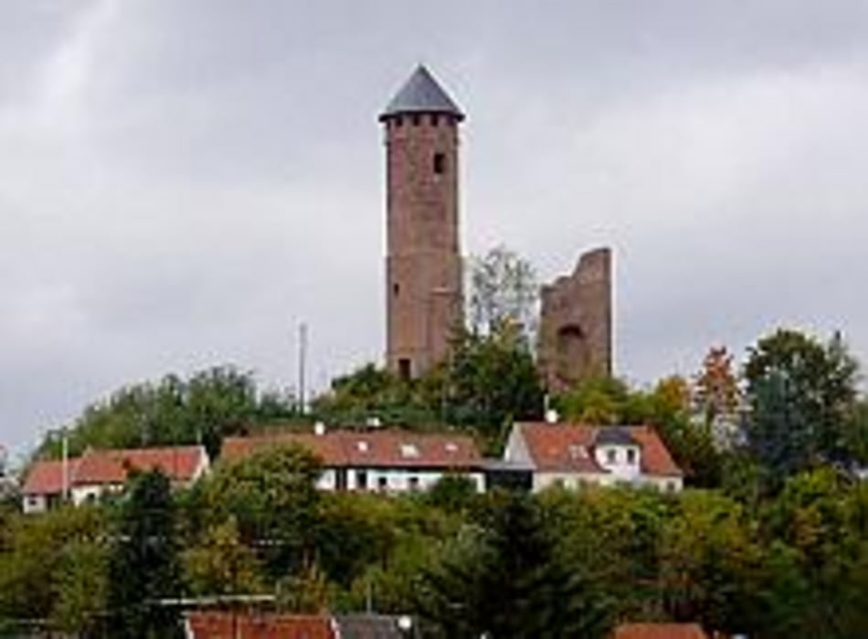

An einen Samstag Nachmittag haben Christoph und ich diese Tour gefahren. Vielleicht etwas wirr aber Spaß hat sie allemal gemacht. Ich hatte nur schon die Woche über 350km in den Knochen.Von Saarbrücken aus über St. Ingbert gings erstmal aufs Schloß Kirkel. Mit einem Stück Kuchen und einem Kaffee gestärkt gings dann erstmal richtig los. Schnelle kurze Trails mit anschließenden gut fahrbaren Schotterwegen schlängelten wir uns in die Höhe. Über Lautzkirchen, schnell durch den Ort, dann wieder auf herrlichen Waldwegen im Bogen zurück nach Kirkel. Mit kleinen Abwegen fuhren wir fast auf dem gleichen Weg zurück. Zum Abschluß gabs dann am Staaten noch ne kühle Blonde.
Tour gallery
Tour map and elevation profile
Minimum height 184 m
Maximum height 367 m
More about the tour author
|
|
tschambo |
Comments

GPS tracks
Trackpoints-
GPX / Garmin Map Source (gpx) download
-
TCX / Garmin Training Center® (tcx) download
-
CRS / Garmin Training Center® (crs) download
-
Google Earth (kml) download
-
G7ToWin (g7t) download
-
TTQV (trk) download
-
Overlay (ovl) download
-
Fugawi (txt) download
-
Kompass (DAV) Track (tk) download
-
Track data sheet (pdf) download
-
Original file of the author (gpx) download
More about the tour author
|
|
tschambo |
Add to my favorites
Remove from my favorites
Edit tags
Open track
My score
Rate