


Die Tour beginnt in Birkweiler und geht uber Albersweiler und Gräfenhausen. Ab da wird es etwas anstrengend! ^^ Über Wanderwege geht es Hoch zur Holderquelle, da kann man mit herrlich frischem Wasser seinen Durst vom Aufstieg stillen. Weiter gehts zur Jungpfalzhütte die hoffentlich geöffnet hat. Kurz nach der Hütte geht dann ein Serpentienen- Pfad runter bis nach Rinnthal der technisch recht anspruchsvoll ist. Über Rinnthal gehts nach Annweiler zurück nach Birkweiler. Eine schöne Feierabenrunde eben.
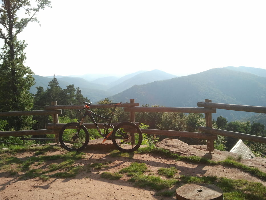
Tour gallery
Tour map and elevation profile
Minimum height 161 m
Maximum height 451 m
More about the tour author

|
haekel72 |
Comments

Über B10 nach Birkweiler, an der Gemeindehalle parken, von da aus gehts Los
GPS tracks
Trackpoints-
GPX / Garmin Map Source (gpx) download
-
TCX / Garmin Training Center® (tcx) download
-
CRS / Garmin Training Center® (crs) download
-
Google Earth (kml) download
-
G7ToWin (g7t) download
-
TTQV (trk) download
-
Overlay (ovl) download
-
Fugawi (txt) download
-
Kompass (DAV) Track (tk) download
-
Track data sheet (pdf) download
-
Original file of the author (gpx) download
More about the tour author
|
|
haekel72 |
Add to my favorites
Remove from my favorites
Edit tags
Open track
My score
Rate