


Timelkam-Weiteschwang-Reichersberg-Kraims-Steindorf-
Ainwalchen-Haining-Buchberg-Berg im Attergau-Eisenpalmsdorf-
Staudach-Rubensdorf-Piesdorf-Witzling-Weiterschwang-Timelkam
Haftungsausschluss:
Ich übernehme keine Haftung oder Gewähr dafür, dass es sich bei allen angegebenen Strecken um öffentliche Verkehrswege handelt, die im rechtlichen Sinne befahren werden dürfen. Jeder Verkehrsteilnehmer handelt insofern in eigener Verantwortung.
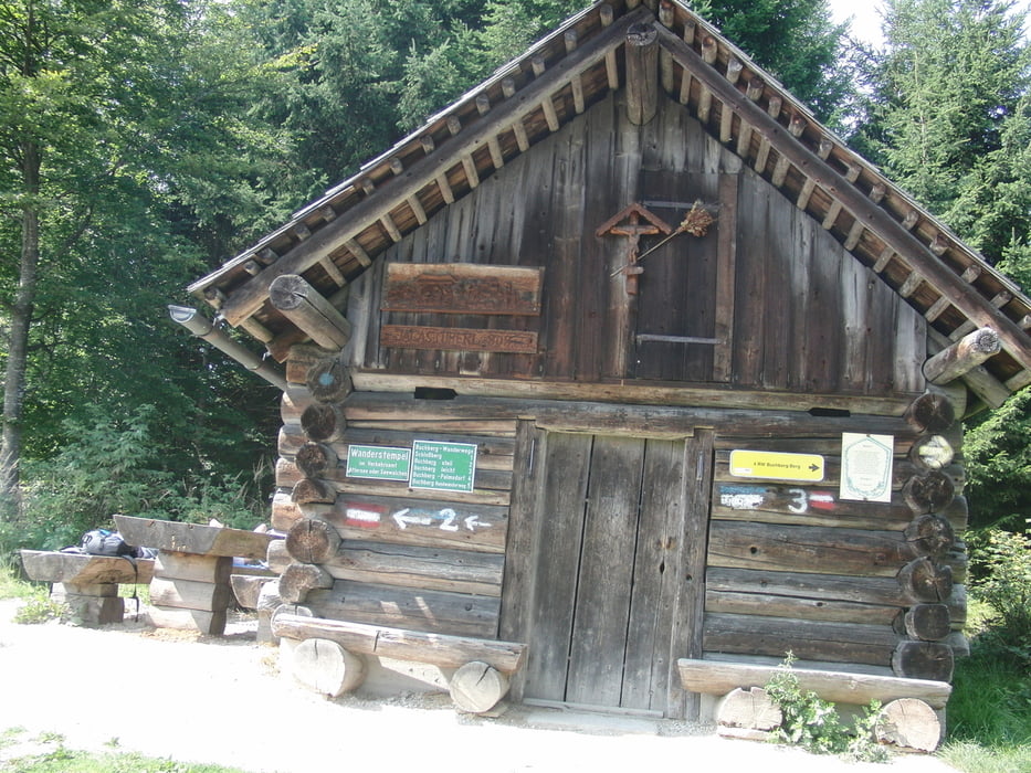
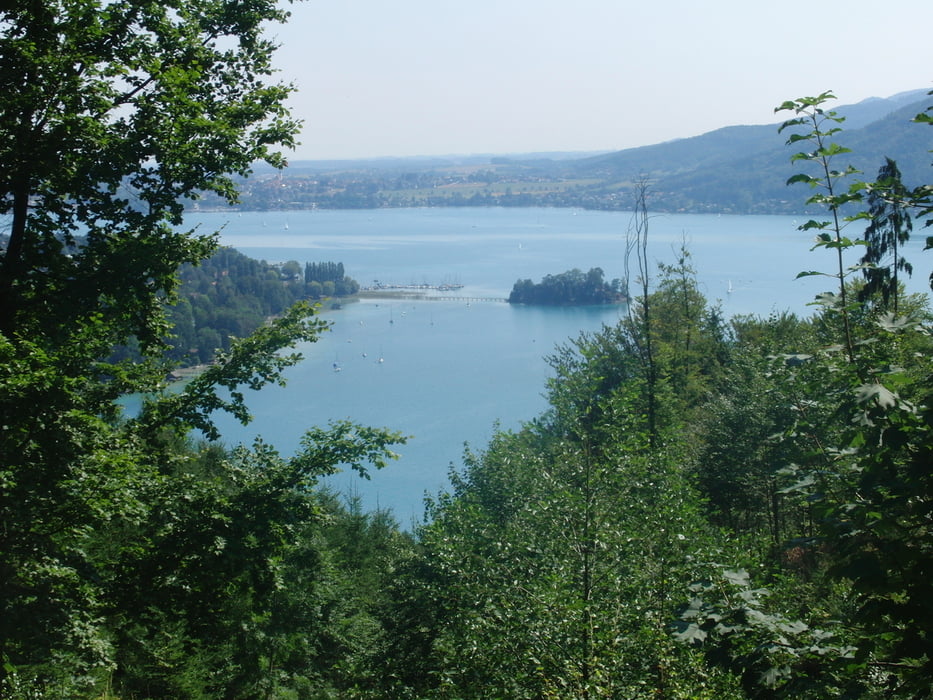
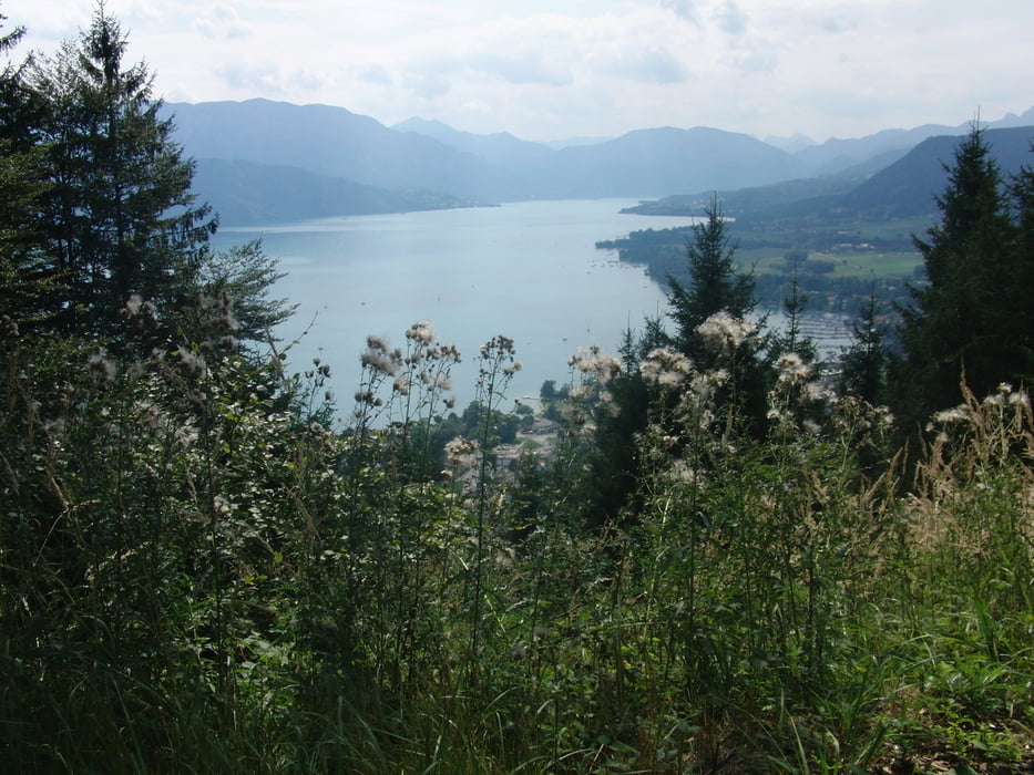
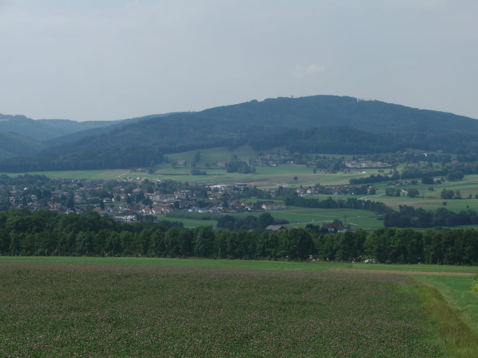
Tour gallery
Tour map and elevation profile
Minimum height 439 m
Maximum height 782 m
More about the tour author
|
|
jopet |
Comments

GPS tracks
Trackpoints-
GPX / Garmin Map Source (gpx) download
-
TCX / Garmin Training Center® (tcx) download
-
CRS / Garmin Training Center® (crs) download
-
Google Earth (kml) download
-
G7ToWin (g7t) download
-
TTQV (trk) download
-
Overlay (ovl) download
-
Fugawi (txt) download
-
Kompass (DAV) Track (tk) download
-
Track data sheet (pdf) download
-
Original file of the author (gpx) download
More about the tour author
|
|
jopet |
Add to my favorites
Remove from my favorites
Edit tags
Open track
My score
Rate