Login

Forgot your login?

Cookies have to be accepted!
Your browser's cookie functionality is disabled. Please enable this functionality.

Not a member yet?

Register now
Login

Available for registred users only

Log in to use this feature.

Forgot your login?

Cookies have to be accepted!
Your browser's cookie functionality is disabled. Please enable this functionality.

Not a member yet?

Register now
Filter
Categories
Advanced filters
  • Distance (km)
  • Height
Save filters Reset filter

TrackRank

QRCode

Technical data

Distance20,6 km Height188 m Way down1468 m Duration00:00 h:m Date02.09.2013
Scores Author Landscape Fun factor Fitness Technique

Statistics

625 Views Scores 83 Downloads Average
Rate
  • Track data sheet
  • Directions
  • Downloads
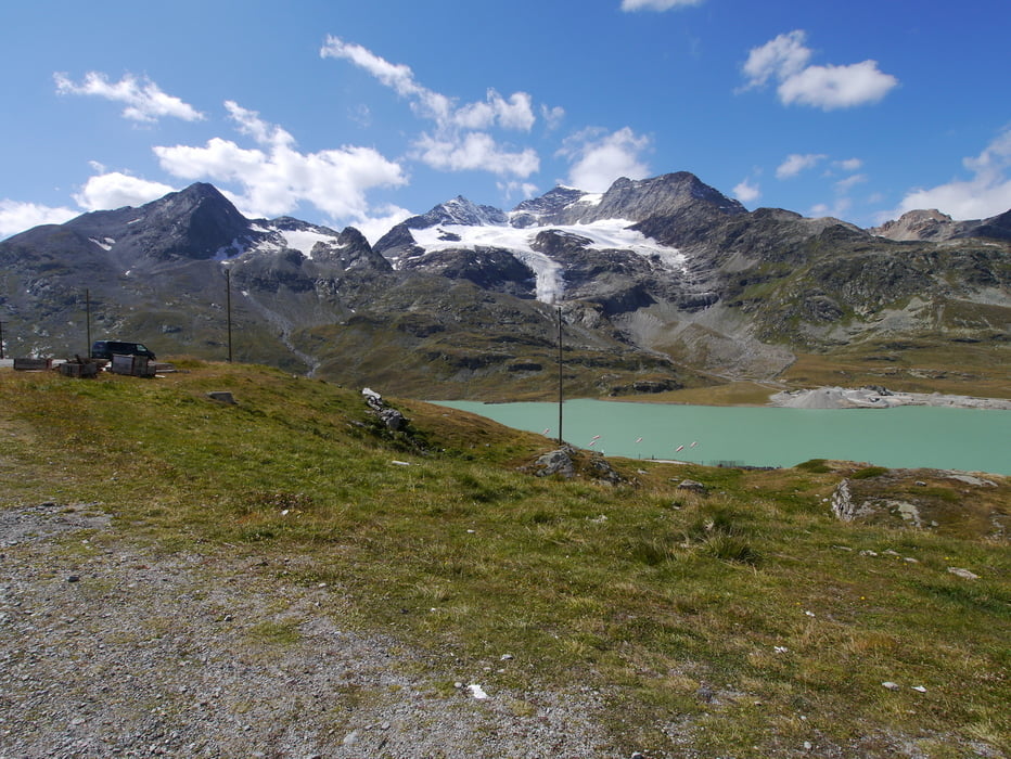
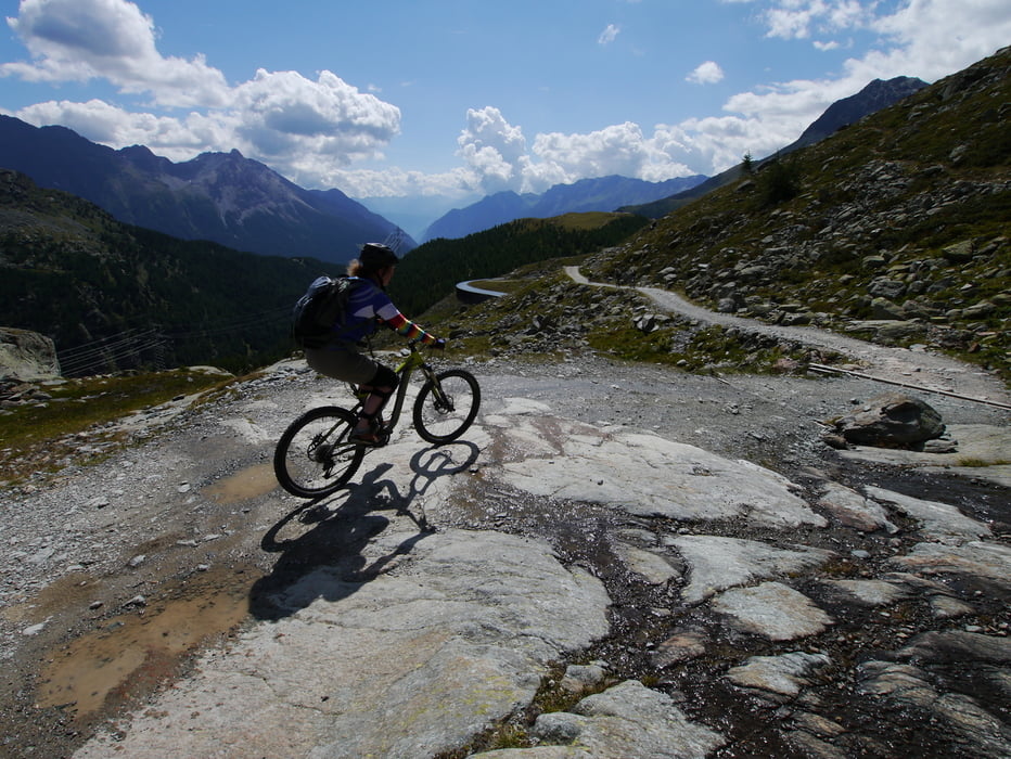
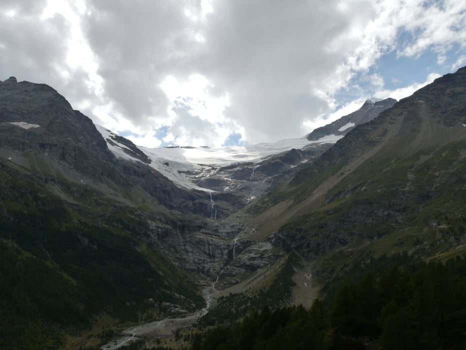
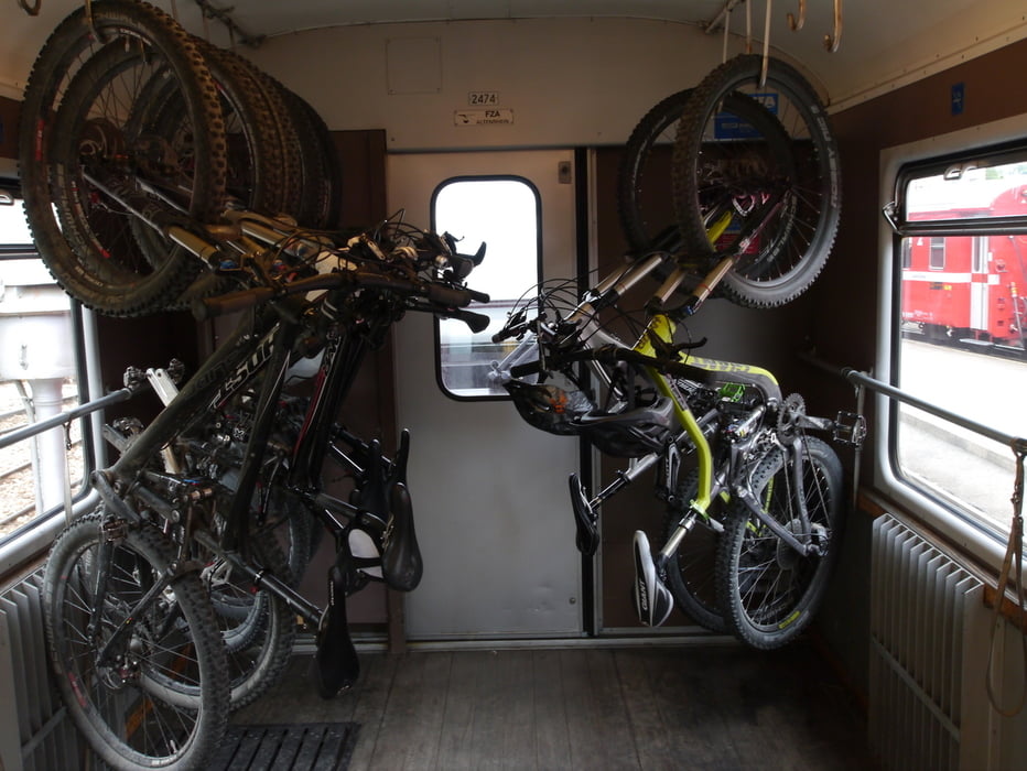
Really fun downhill in a breathtakingly beautiful scenary from the Bernina Pass down to the town of Poschiavo. Somewhat technical singletrack down to Cavaglia, from thereon on gravel and tarmac. From Poschiavo back with the train to Bernina Pass.

Tour gallery

Tour map and elevation profile

  • Open Street Map
  • Google
Minimum height 1012 m Maximum height 2301 m Detailed view

More about the tour author

MaxDefender
Member since 2013

Send private message

Comments

Berninapass, Poschiavo, Schweiz

GPS tracks

Trackpoints
  • GPX / Garmin Map Source (gpx) download
  • TCX / Garmin Training Center® (tcx) download
  • CRS / Garmin Training Center® (crs) download
  • Google Earth (kml) download
  • G7ToWin (g7t) download
  • TTQV (trk) download
  • Overlay (ovl) download
  • Fugawi (txt) download
  • Kompass (DAV) Track (tk) download
  • Track data sheet (pdf) download
  • Original file of the author (gpx) download

More about the tour author

MaxDefender
Member since 2013

Send private message
Share track
Add to my favorites
Remove from my favorites
Edit tags
My score
Rate
Track: Berninapass to Poschiavo downhill
Type: Mountain bike
Distance: 20,6 km
Evaluated on:
Duration:
Day(s)
Hour(s)
Minute(s)
Score: Landscape Fun factor Fitness Technique