
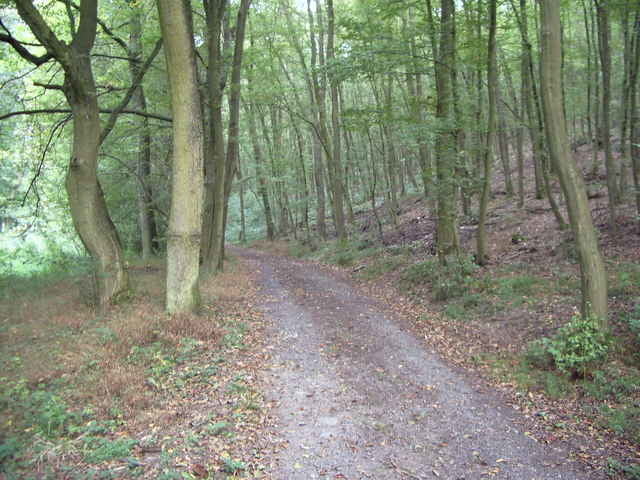

Der Weg führt ausschliesslich über Wald- und Forstwege und einige schöne Trails. Vom Sportplatz in Erda durch das Helfholz in den Dünsbergsgrund und dann einen steilen Trail hoch bis an die Asphaltstrasse die zum Dünsberg führt. Hinunter zum Parkplatz Krumbacher Kreuz und über die Landstrasse hinein in den Krofdorfer Forst. Nun durch das Fohnbachtal hinunter nach Krofdorf. Hier gibt es reichlich Einkehrmöglichkeiten. Über Rad- und Forstwege nach Wissmar. Einkehrmöglichkeit in Erlental. Nun dem Erlental hoch bis zum Forsthaus Waldhaus und über einen tollen Trail zurück zum Parkplatz Krumbacher Kreuz. Den halben Weg hoch in Richtung Dünsberg und dann eine lange Abfahrt hinunter zum Parkplatz Obermühle. Vorbei an einem geschützten ehem. Steinbruch und den Lindenhöfen, unterhalb von Königsberg, zurück zum Startpunkt.
Further information at
http://www.hohenahr.de/Tour gallery

Tour map and elevation profile
Minimum height 214 m
Maximum height 379 m
More about the tour author

|
Arno Brueck |
Comments

Von Giessen in Richtung Gladenbach bis zum Krumbacher Kreuz.
Von Wetzlar über Hohensolms nach Erda.
Von Wetzlar über Hohensolms nach Erda.
GPS tracks
Trackpoints-
GPX / Garmin Map Source (gpx) download
-
TCX / Garmin Training Center® (tcx) download
-
CRS / Garmin Training Center® (crs) download
-
Google Earth (kml) download
-
G7ToWin (g7t) download
-
TTQV (trk) download
-
Overlay (ovl) download
-
Fugawi (txt) download
-
Kompass (DAV) Track (tk) download
-
Track data sheet (pdf) download
-
Original file of the author (gpx) download
More about the tour author
|
|
Arno Brueck |
Add to my favorites
Remove from my favorites
Edit tags
Open track
My score
Rate