


Start from parkplace on 4.600m.
About 30' to Refugio José Ribas on 4.800.
Until 5.100m on Stones and up there on ice :-).
Summit on 5.897m, with a create view to the crater.
Down the same way.
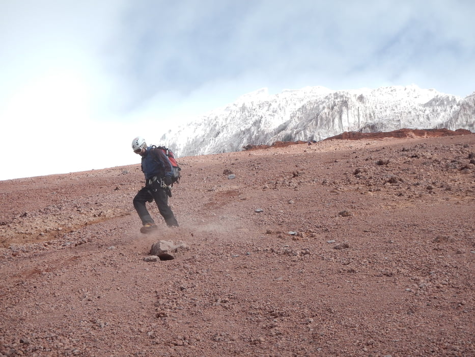
Tour gallery
Tour map and elevation profile
Minimum height 4449 m
Maximum height 5724 m
More about the tour author
|
|
schoyswo |
Comments

GPS tracks
Trackpoints-
GPX / Garmin Map Source (gpx) download
-
TCX / Garmin Training Center® (tcx) download
-
CRS / Garmin Training Center® (crs) download
-
Google Earth (kml) download
-
G7ToWin (g7t) download
-
TTQV (trk) download
-
Overlay (ovl) download
-
Fugawi (txt) download
-
Kompass (DAV) Track (tk) download
-
Track data sheet (pdf) download
-
Original file of the author (gpx) download
More about the tour author
|
|
schoyswo |
Add to my favorites
Remove from my favorites
Edit tags
Open track
My score
Rate