


Vom Gasthof Feuerstein in Gschnitz zur Tribulaunhütte.
Ab der Tribulaunhütte wird der Weg etwas anspruchsvoller, ist aber bis zur Gargglerin immer gut gehbar. Großartiges Panorama. Die Gargglerin selbst kann bestiegen werden, jedoch haben wir es nicht bis zum Gipfel geschafft. An einer steilen, ungesicherten Stelle, an der der Weg nur noch 30cm breit war und ringsum Geröll lag, sind wir lieber umgekehrt. Sicherheit geht vor.
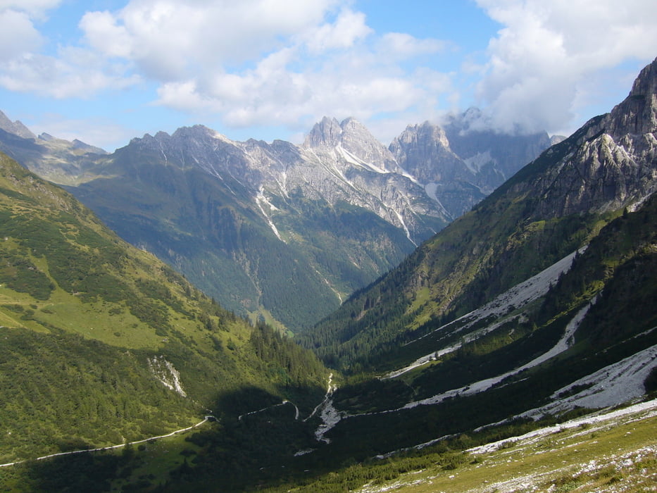
Der Abstieg nach Gschnitz ist lang und steil, bietet aber in der oberen Hälfte wunderschöne Ausblicke ins Tal.
Tour gallery

Tour map and elevation profile
Minimum height 1305 m
Maximum height 2388 m
More about the tour author

|
klixx |
Comments

GPS tracks
Trackpoints-
GPX / Garmin Map Source (gpx) download
-
TCX / Garmin Training Center® (tcx) download
-
CRS / Garmin Training Center® (crs) download
-
Google Earth (kml) download
-
G7ToWin (g7t) download
-
TTQV (trk) download
-
Overlay (ovl) download
-
Fugawi (txt) download
-
Kompass (DAV) Track (tk) download
-
Track data sheet (pdf) download
-
Original file of the author (gpx) download
More about the tour author
|
|
klixx |
Add to my favorites
Remove from my favorites
Edit tags
Open track
My score
Rate