


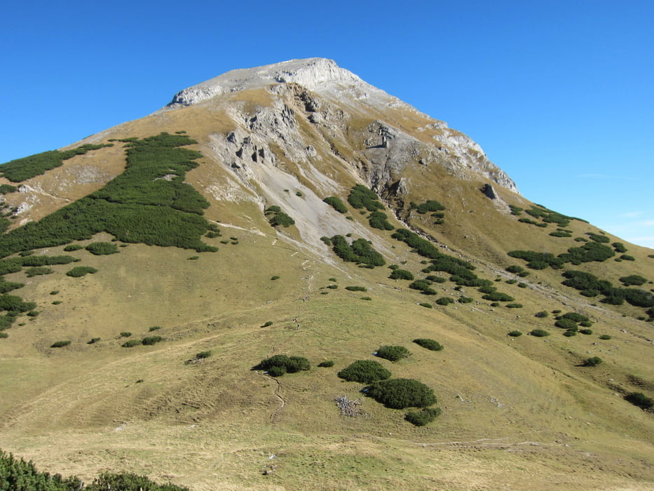
Zum Sonnjoch,
Trotz der ereichbaren Höhe von fast 2500m, eine technisch einfache Bergwanderung.
Nur die letzten Zwei bis Dreihundert Höhenmeter zum Gipfel ist ein gewisses Mass an Trittsicherheit wegen Gerölls erforderlich. Am Gipfelgrat selbst ist dieses dann weniger vorhanden.
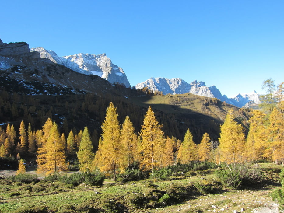
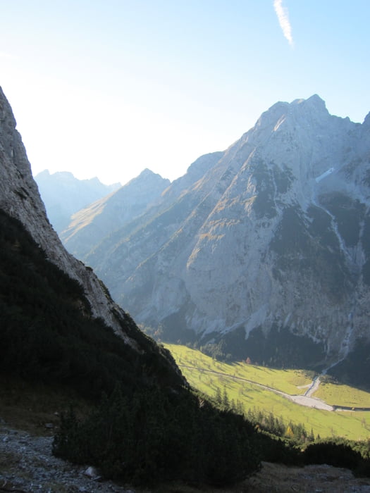
Immer wieder grandiose Ausblicke während der gesamten Strecke.
Reine Gehzeit etwa 6-7 Stunden.
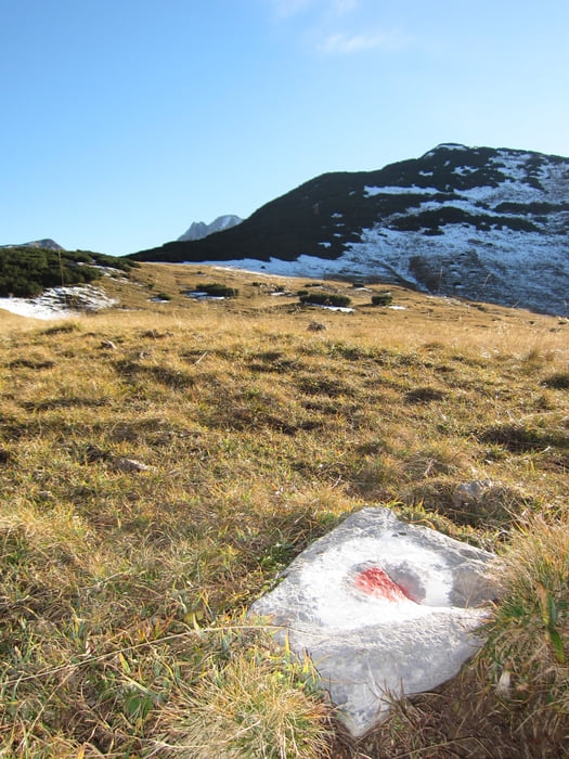
Rückweg über die Faule Eng, auf einem schönen und durchweg gut Markierten Steig zurück ins Tal.
Als Abschluss, ein Spaziergang durch den Grossen Ahornboden zum Ausgangspunkt.
Tour gallery
Tour map and elevation profile
Minimum height 1119 m
Maximum height 2454 m
More about the tour author

|
speeder |
Comments

GPS tracks
Trackpoints-
GPX / Garmin Map Source (gpx) download
-
TCX / Garmin Training Center® (tcx) download
-
CRS / Garmin Training Center® (crs) download
-
Google Earth (kml) download
-
G7ToWin (g7t) download
-
TTQV (trk) download
-
Overlay (ovl) download
-
Fugawi (txt) download
-
Kompass (DAV) Track (tk) download
-
Track data sheet (pdf) download
-
Original file of the author (gpx) download
More about the tour author
|
|
speeder |
Add to my favorites
Remove from my favorites
Edit tags
Open track
My score
Rate