Login

Forgot your login?

Cookies have to be accepted!
Your browser's cookie functionality is disabled. Please enable this functionality.

Not a member yet?

Register now
Login

Available for registred users only

Log in to use this feature.

Forgot your login?

Cookies have to be accepted!
Your browser's cookie functionality is disabled. Please enable this functionality.

Not a member yet?

Register now
Filter
Categories
Advanced filters
  • Distance (km)
  • Height
Save filters Reset filter

TrackRank

QRCode

Technical data

Distance88,3 km Height789 m Way down788 m Duration00:00 h:m Date06.09.2013
Scores Author User Landscape Fun factor Fitness Technique

Statistics

1002 Views 1 Score 140 Downloads 5.00 Average
Rate
  • Track data sheet
  • Directions
  • Downloads

Nette Tour auf meist kleinen und ruhigen Strassen. Lediglich um Murnau herum ist mehr los und Hauptstrasse (da gibt es aber einen Radweg).


Der Schlenker in Habach ging zum Dorfladen (Proviant nachfüllen).

Achtung: gegen Ende bei Wolfetsried eine ca. 1km lange, aber mit dem Rennrad gut zu fahrende Schotterstrecke. Wer dies nicht will, kann direkt auf der Hauptstrasse zurück nach Seeshaupt.
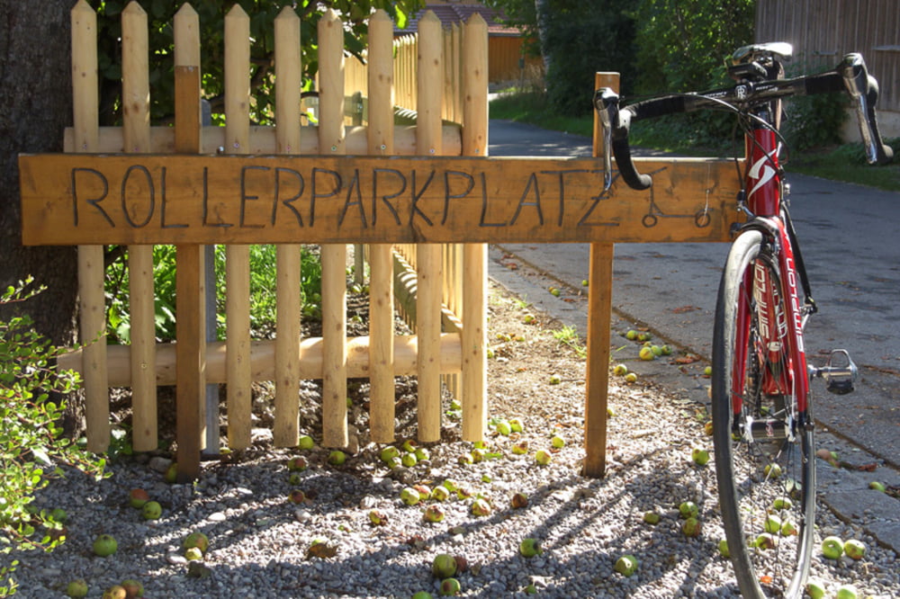
 

Tour gallery

Tour map and elevation profile

  • Open Street Map
  • Google
Minimum height 600 m Maximum height 729 m Detailed view

More about the tour author

Tourmalet
Member since 2008

Send private message

Comments

GPS tracks

Trackpoints
  • GPX / Garmin Map Source (gpx) download
  • TCX / Garmin Training Center® (tcx) download
  • CRS / Garmin Training Center® (crs) download
  • Google Earth (kml) download
  • G7ToWin (g7t) download
  • TTQV (trk) download
  • Overlay (ovl) download
  • Fugawi (txt) download
  • Kompass (DAV) Track (tk) download
  • Track data sheet (pdf) download
  • Original file of the author (gpx) download

More about the tour author

Tourmalet
Member since 2008

Send private message
Share track
Add to my favorites
Remove from my favorites
Edit tags
My score
Rate
Track: Von Seeshaupt nach Eschenlohe und Murnau
Type: Road biking
Distance: 88,3 km
Evaluated on:
Duration:
Day(s)
Hour(s)
Minute(s)
Score: Landscape Fun factor Fitness Technique