


This tour will lead you from the medieval village of Pitigliano to the highest mountain of the Tuscany, the Monte Amiata. I tried to use as much small sideroads as possible to escape crazy Italian drivers, trailer towing Dutch drivers or Germans with a much too big SUV for their driving skills (so much about prejudices). Please be aware that the quality of some of the roads used is partially pretty poor with potholes in the bitumen. I did not climb up to the Peak of Mt. Amiata which would add another 100 vertical meters to the account and can only be done by walking.
I did the tour anticlockwise. It can be done clockwise as well but then you have to climb on roads which have more traffic. Altogether the climbs are never so steep that you have to get out of your saddle.
There are a couple of restaurants and bars near the top of Mt. Amiata but few on the way up or down. So plan your breaks well. There is no drinkable water along the road except what you buy in bars.
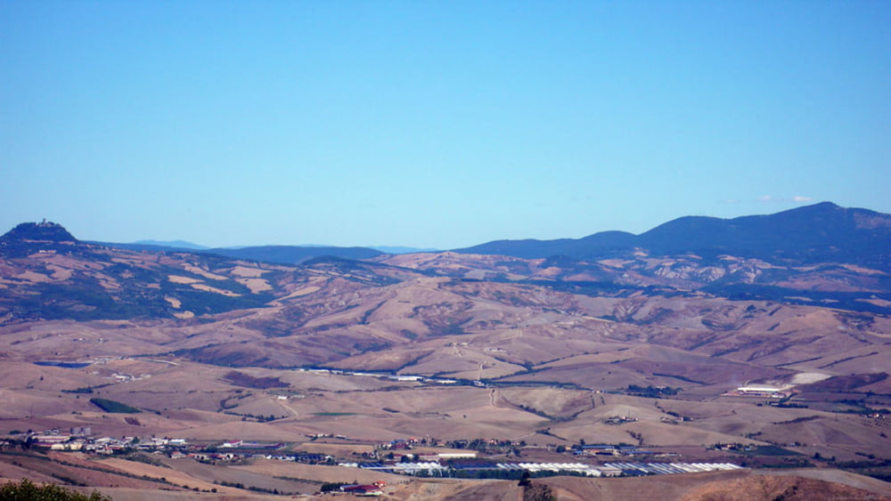
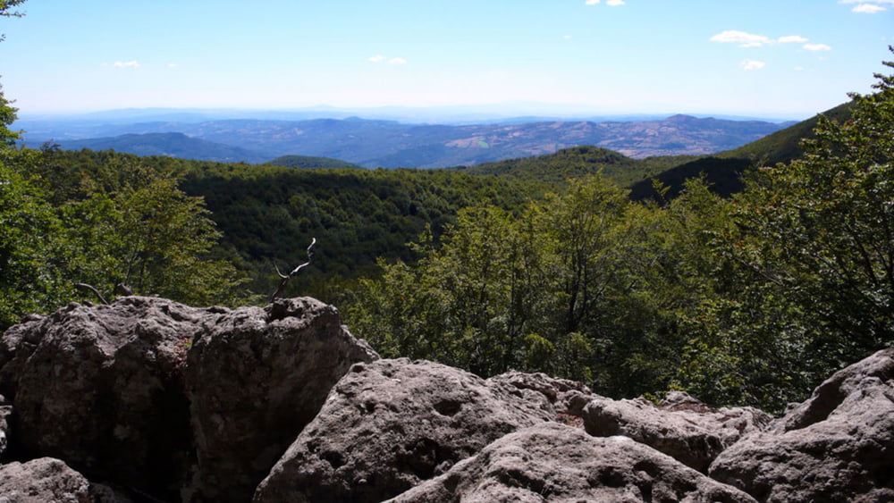
The tour will offer some excellent views on the landscape. As the Mt. Amiata itself is covered by wood, you get shade but only few possibilities to have a look around.
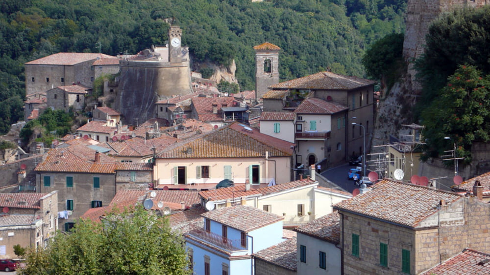
Tour gallery
Tour map and elevation profile
Minimum height 224 m
Maximum height 1672 m
More about the tour author
|
|
Onkel Darwin |
Comments

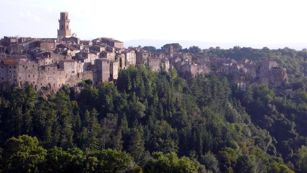
The tour starts at Pitigliano with sometimes limited parking possibilities. You can choose any other place on the track for starting as well.
GPS tracks
Trackpoints-
GPX / Garmin Map Source (gpx) download
-
TCX / Garmin Training Center® (tcx) download
-
CRS / Garmin Training Center® (crs) download
-
Google Earth (kml) download
-
G7ToWin (g7t) download
-
TTQV (trk) download
-
Overlay (ovl) download
-
Fugawi (txt) download
-
Kompass (DAV) Track (tk) download
-
Track data sheet (pdf) download
-
Original file of the author (gpx) download
More about the tour author
|
|
Onkel Darwin |
Add to my favorites
Remove from my favorites
Edit tags
Open track
My score
Rate