


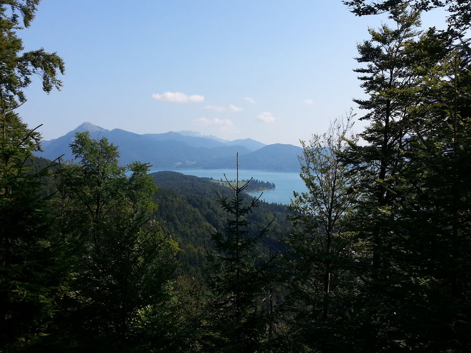
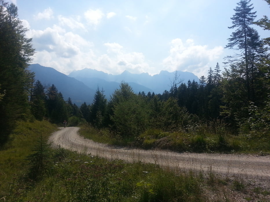
Fahrtechnisch abwechslungsreiche und landschaftlich schöne Tour von Ettal über Eschenlohe durch das Eschenlainetal Richtung Walchensee. Über Wallgau durch das Finzbachtal hoch zur Esteralm und von dort über eine steile aber technisch eher einfache Abfahrt nach Garmisch. Von dort über Farchant und Oberau zurück nach Ettal. Wer die B 23 nicht hochfahren möchte, kann alternativ die Alte Ettaler Straße nehmen. Das sind dann aber ca. 300hm überwiegend Schiebestrecke.
Tour gallery


Tour map and elevation profile
Minimum height 637 m
Maximum height 1322 m
More about the tour author
|
|
branco68 |
Comments

Mit dem Auto nach Ettal
GPS tracks
Trackpoints-
GPX / Garmin Map Source (gpx) download
-
TCX / Garmin Training Center® (tcx) download
-
CRS / Garmin Training Center® (crs) download
-
Google Earth (kml) download
-
G7ToWin (g7t) download
-
TTQV (trk) download
-
Overlay (ovl) download
-
Fugawi (txt) download
-
Kompass (DAV) Track (tk) download
-
Track data sheet (pdf) download
-
Original file of the author (gpx) download
More about the tour author
|
|
branco68 |
Add to my favorites
Remove from my favorites
Edit tags
Open track
My score
Rate