Login

Forgot your login?

Cookies have to be accepted!
Your browser's cookie functionality is disabled. Please enable this functionality.

Not a member yet?

Register now
Login

Available for registred users only

Log in to use this feature.

Forgot your login?

Cookies have to be accepted!
Your browser's cookie functionality is disabled. Please enable this functionality.

Not a member yet?

Register now
Filter
Categories
Advanced filters
  • Distance (km)
  • Height
Save filters Reset filter

TrackRank

QRCode

Technical data

Distance14,9 km Height1032 m Way down1005 m Duration05:00 h:m Date08.09.2013
Scores Author Landscape Fun factor Fitness Technique

Statistics

939 Views Scores 45 Downloads Average
Rate
  • Track data sheet
  • Directions
  • Downloads

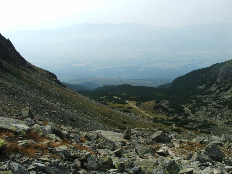
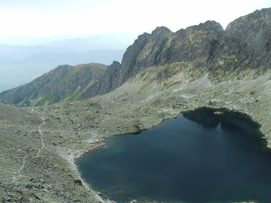
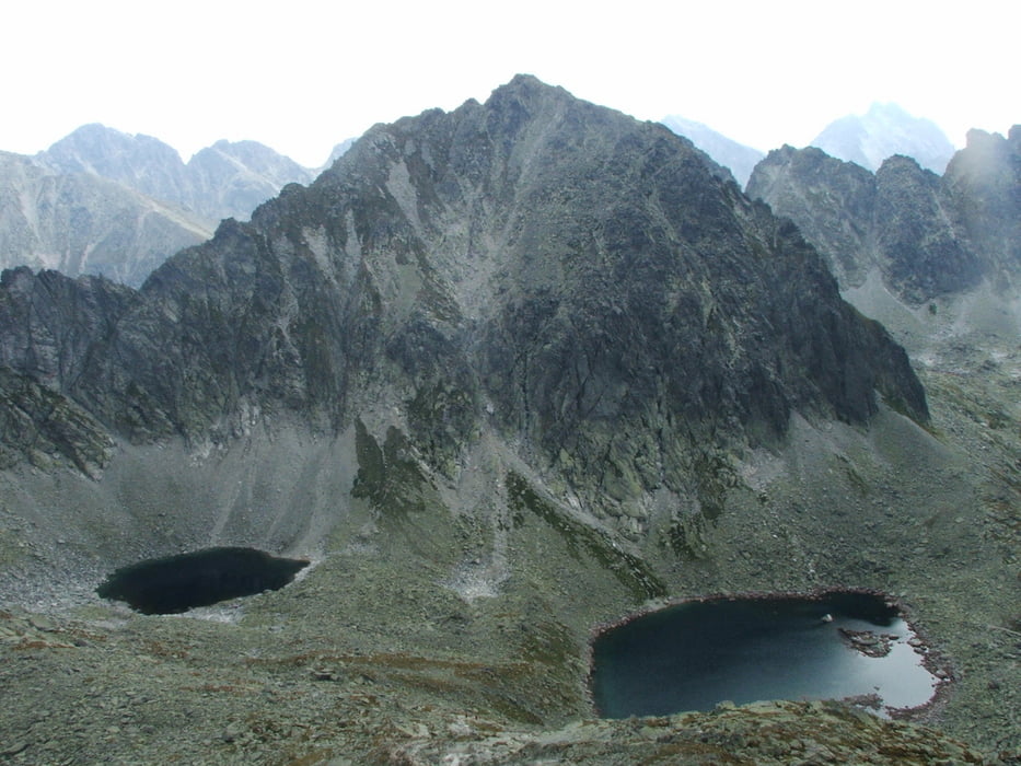
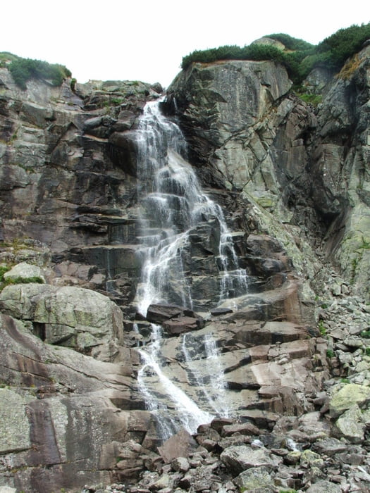
Wegverlauf: Štrbské Pleso - (Seilbahn) - Chata pod Soliskom - Furkotské dolina - Bystrá lávka - Mlyncka dolina - Štrbské Pleso

 Abstieg: 1100 Höhenmeter

Tour gallery

Tour map and elevation profile

  • Open Street Map
  • Google
Minimum height 1299 m Maximum height 2314 m Detailed view

More about the tour author

lothardomnik
Member since 2009

Send private message

Comments

Štrbské Pleso liegt 20 Kilometer nordwestlich von Poprad. D1 bis Štrba, dann nach Norden

GPS tracks

Trackpoints
  • GPX / Garmin Map Source (gpx) download
  • TCX / Garmin Training Center® (tcx) download
  • CRS / Garmin Training Center® (crs) download
  • Google Earth (kml) download
  • G7ToWin (g7t) download
  • TTQV (trk) download
  • Overlay (ovl) download
  • Fugawi (txt) download
  • Kompass (DAV) Track (tk) download
  • Track data sheet (pdf) download
  • Original file of the author (gpx) download

More about the tour author

lothardomnik
Member since 2009

Send private message
Share track
Add to my favorites
Remove from my favorites
Edit tags
My score
Rate
Track: Hohe Tatra (2)
Type: Mountain hiking
Distance: 14,9 km
Evaluated on:
Duration:
Day(s)
Hour(s)
Minute(s)
Score: Landscape Fun factor Fitness Technique