


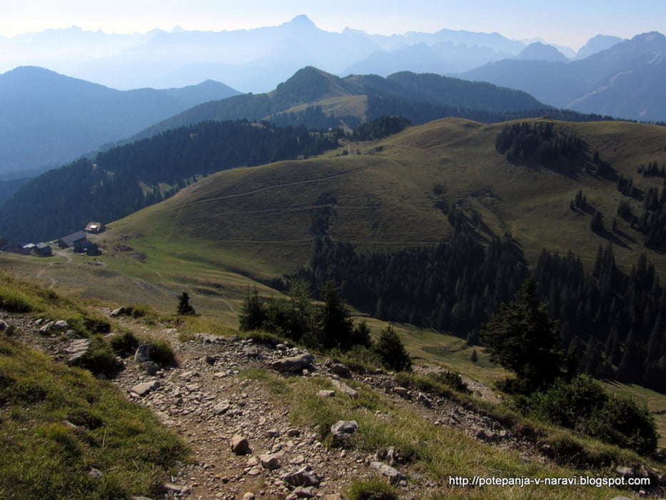
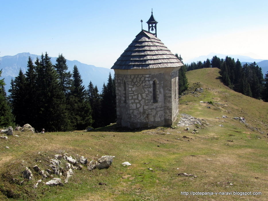
Krožen izlet na Ojstrnik: vzpon prek sedla Lom, spust mimo kapelice Marije Snežne in prek Zahomske planine.
Further information at
http://potepanja-v-naravi.blogspot.com/2013/09/ojstrnik-oisternig-monte-osternig.htmlTour gallery

Tour map and elevation profile
Minimum height 1193 m
Maximum height 2047 m
More about the tour author
|
|
ExAmigan |
Comments

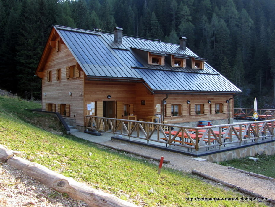
Iz smeri rateč se pripeljemo do vasi Ukve, kjer tik pred potokom zavijemo desno in se po večinoma zelo ozki cesti peljemo naravnost vse do velikega makadamskega parkirišča na njenem koncu, kjer je včasih stalo zavetišče Nordio-Deffar.
GPS tracks
Trackpoints-
GPX / Garmin Map Source (gpx) download
-
TCX / Garmin Training Center® (tcx) download
-
CRS / Garmin Training Center® (crs) download
-
Google Earth (kml) download
-
G7ToWin (g7t) download
-
TTQV (trk) download
-
Overlay (ovl) download
-
Fugawi (txt) download
-
Kompass (DAV) Track (tk) download
-
Track data sheet (pdf) download
-
Original file of the author (gpx) download
More about the tour author
|
|
ExAmigan |
Add to my favorites
Remove from my favorites
Edit tags
Open track
My score
Rate