


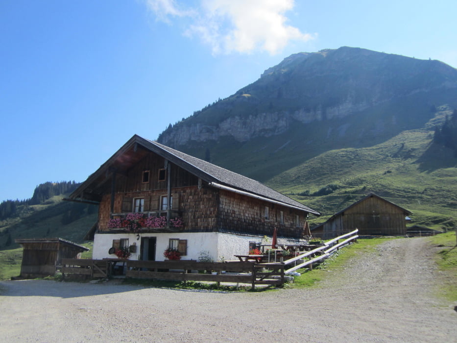
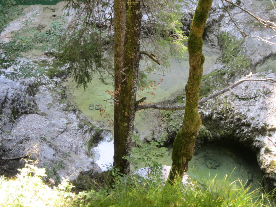
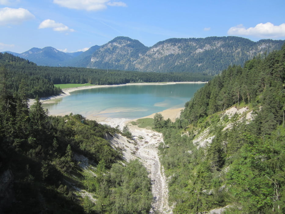
Von Fall geht´s 9 km zur Aquilahütte. Auf dieser Strecke geht´s lediglich 120 Meter hoch. Dann links abbiegen zur Rotwandhütte. Zuerst mal 200 Höhenmeter ordentlich aufwärts. Dann bei wechselnder Steigung auch ein paar mal wieder abwärts. Vom Start zur Rotwandhütte sind es750 Höhenmeter auf 1521 Meter. Es folgt eine lange Abfahrt zum Achenwald. Einen Radweg neben der Straße folgen. Vorm Sylvensteinsee fährt man entlang der Walchklamm. Um in die Klamm zu blicken, muss man allerdings absteigen. Auf dieser Strecke und hinter dem Sylvensteinsee entlang geht's öfter rauf und runter. Das geht nochmal kräftig in die Beine.
Tour gallery
Tour map and elevation profile
Minimum height 776 m
Maximum height 1523 m
More about the tour author

|
Seba28 |
Comments

GPS tracks
Trackpoints-
GPX / Garmin Map Source (gpx) download
-
TCX / Garmin Training Center® (tcx) download
-
CRS / Garmin Training Center® (crs) download
-
Google Earth (kml) download
-
G7ToWin (g7t) download
-
TTQV (trk) download
-
Overlay (ovl) download
-
Fugawi (txt) download
-
Kompass (DAV) Track (tk) download
-
Track data sheet (pdf) download
-
Original file of the author (gpx) download
More about the tour author
|
|
Seba28 |
Add to my favorites
Remove from my favorites
Edit tags
Open track
My score
Rate