


Start/Ziel: Müstair-Schweiz
Panoramarunde auf den Berghängen des Münstertales im Uhrzeigersinn.
Die Runde führt über Wald- und Forstwege um das Münstertal. Einige mittelsteile Abschnitte.
Auf ca. 2.000 Meter Meereshöhe, bei der Sternenwarte machen wir einen Abstecher zum Almrestaurant "La Posa".
Abfahrt ins Tal auf Asphalt.
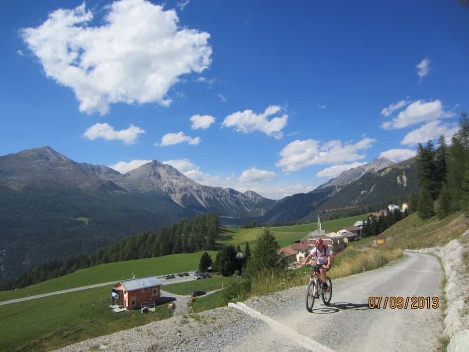
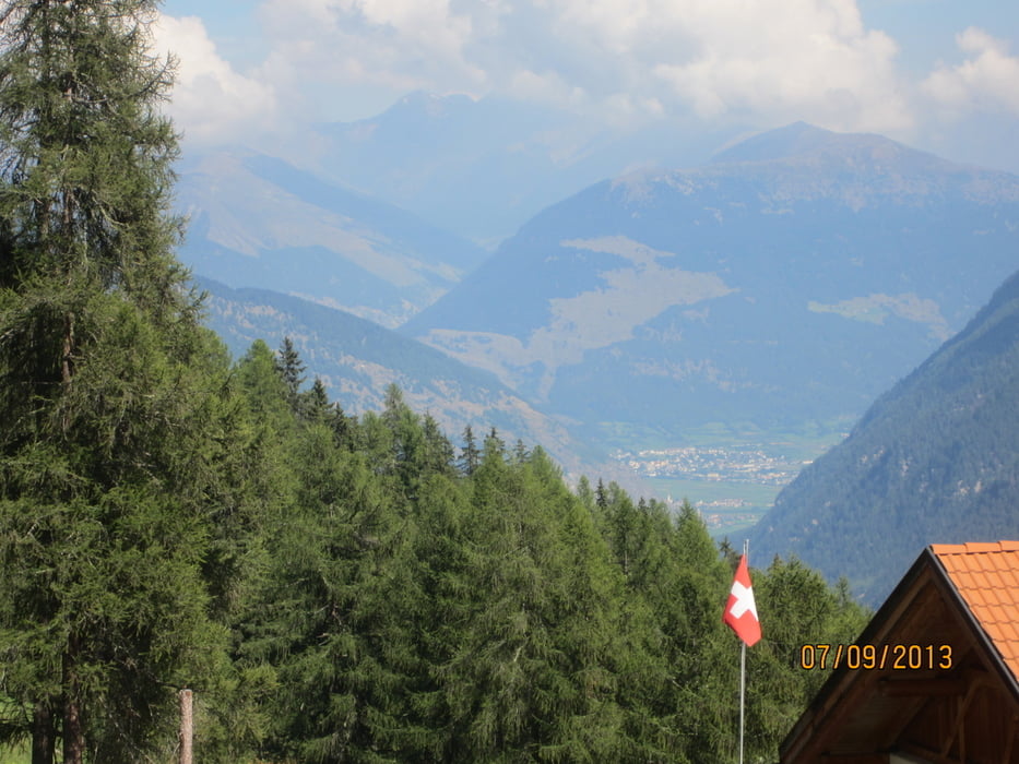
Ausblicke: zum Ofenpass, Ortlermassiv und in den Vinschgau.
Besten Dank an den ortskundigen Hermano, welcher uns auf dieser Tour geführt hat, und an Claudia aus Müstair besten Dank für die vorzügliche Bewirtung.
PS. Wir sind zu dieser Tour mit dem Zug von Meran aus gestartet. Fahrzeit ca. 1,20 St. Mit dem Bike empfiehlt es sich, einen der ersten Züge zu nehmen, zb. 07.38(genug Platz fürs Bike).Von Mals führt ein Radweg durch Laatsch, bzw ein Forstweg am Fluss entlang nach Münstair(ca.1 St.). Evtl. Rückfahrt auf dem Radweg nach Meran ca.74 Km. - ca. 3 St. Am Abend meistens Gegenwind.
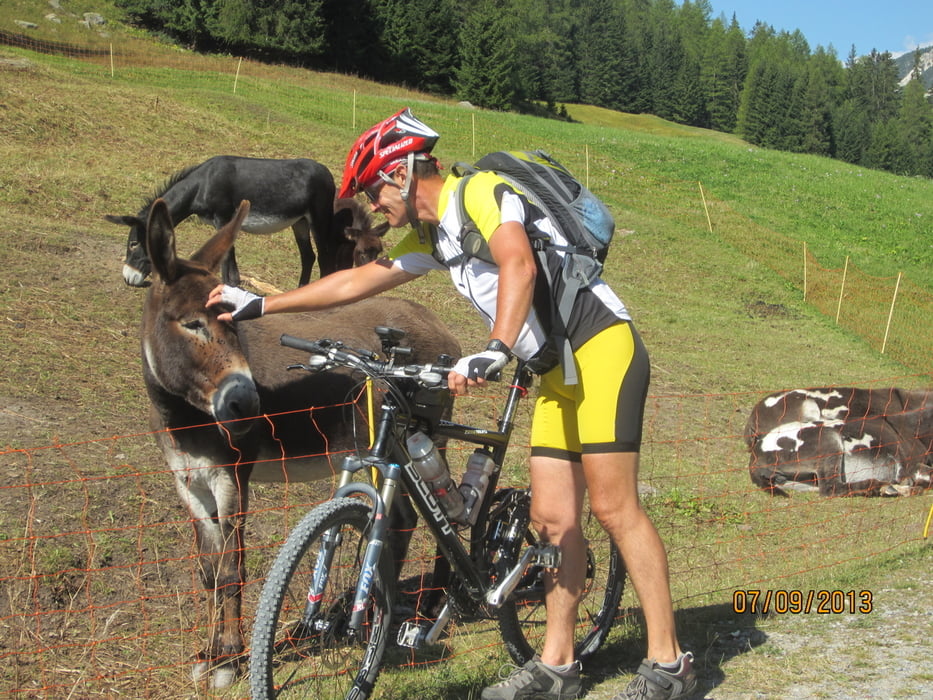
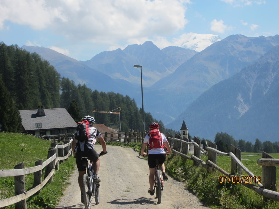
Tour gallery
Tour map and elevation profile
Minimum height 1259 m
Maximum height 2098 m
More about the tour author
|
|
MargesinFriedrich |
Comments

GPS tracks
Trackpoints-
GPX / Garmin Map Source (gpx) download
-
TCX / Garmin Training Center® (tcx) download
-
CRS / Garmin Training Center® (crs) download
-
Google Earth (kml) download
-
G7ToWin (g7t) download
-
TTQV (trk) download
-
Overlay (ovl) download
-
Fugawi (txt) download
-
Kompass (DAV) Track (tk) download
-
Track data sheet (pdf) download
-
Original file of the author (gpx) download
More about the tour author
|
|
MargesinFriedrich |
Add to my favorites
Remove from my favorites
Edit tags
Open track
My score
Rate