Login

Forgot your login?

Cookies have to be accepted!
Your browser's cookie functionality is disabled. Please enable this functionality.

Not a member yet?

Register now
Login

Available for registred users only

Log in to use this feature.

Forgot your login?

Cookies have to be accepted!
Your browser's cookie functionality is disabled. Please enable this functionality.

Not a member yet?

Register now
Filter
Categories
Advanced filters
  • Distance (km)
  • Height
Save filters Reset filter

TrackRank

QRCode

Technical data

Distance65,5 km Height802 m Way down829 m Duration00:00 h:m Date08.09.2013
Scores Author Landscape Fun factor Fitness Technique

Statistics

1339 Views Scores 52 Downloads Average
Rate
  • Track data sheet
  • Directions
  • Downloads

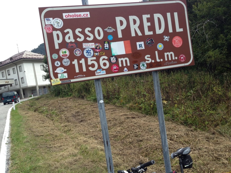
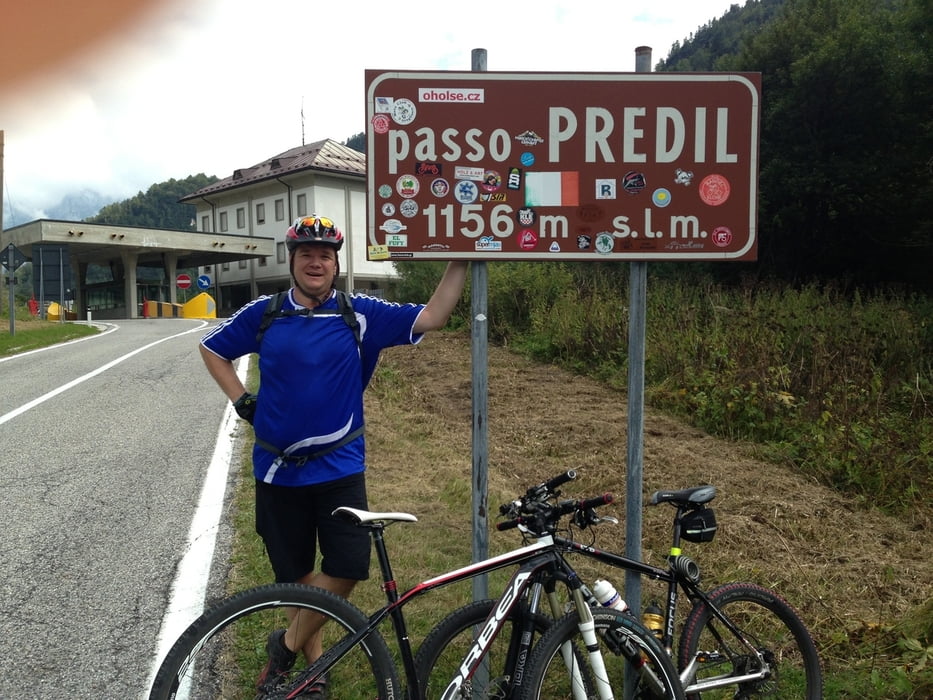
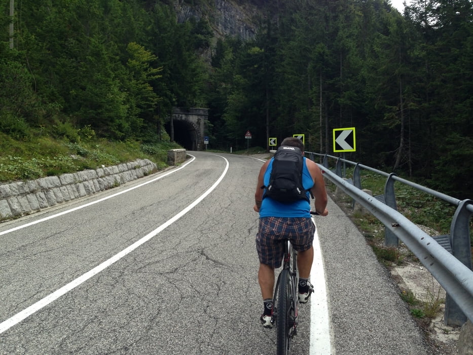
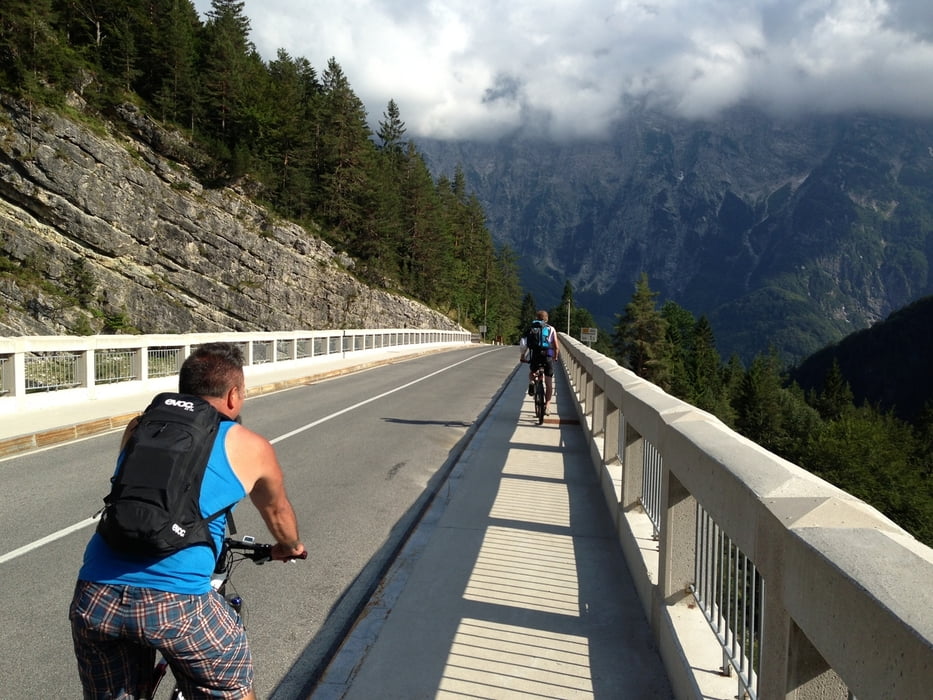
Von Villach den Gail Radweg kurzen Abstecher in die Schütt nach Tarvis über den Passo Predilo nach Bovec.


Tour gallery

Tour map and elevation profile

  • Open Street Map
  • Google
Minimum height 442 m Maximum height 1120 m Detailed view

More about the tour author

deralex
Member since 2008

Send private message

Comments

Villach, Tarvis, Passo Predil, Bovec

GPS tracks

Trackpoints
  • GPX / Garmin Map Source (gpx) download
  • TCX / Garmin Training Center® (tcx) download
  • CRS / Garmin Training Center® (crs) download
  • Google Earth (kml) download
  • G7ToWin (g7t) download
  • TTQV (trk) download
  • Overlay (ovl) download
  • Fugawi (txt) download
  • Kompass (DAV) Track (tk) download
  • Track data sheet (pdf) download
  • Original file of the author (gpx) download

More about the tour author

deralex
Member since 2008

Send private message
Share track
Add to my favorites
Remove from my favorites
Edit tags
My score
Rate
Track: Villach - Passo Predil - Bovec
Type: Mountain bike
Distance: 65,5 km
Evaluated on:
Duration:
Day(s)
Hour(s)
Minute(s)
Score: Landscape Fun factor Fitness Technique