


Hohe Wand – Dreistetten – Kl. Kanzel – Mautstraße – Muthmannsdorf – Dreistetten
33km 890 Hm 4.58h
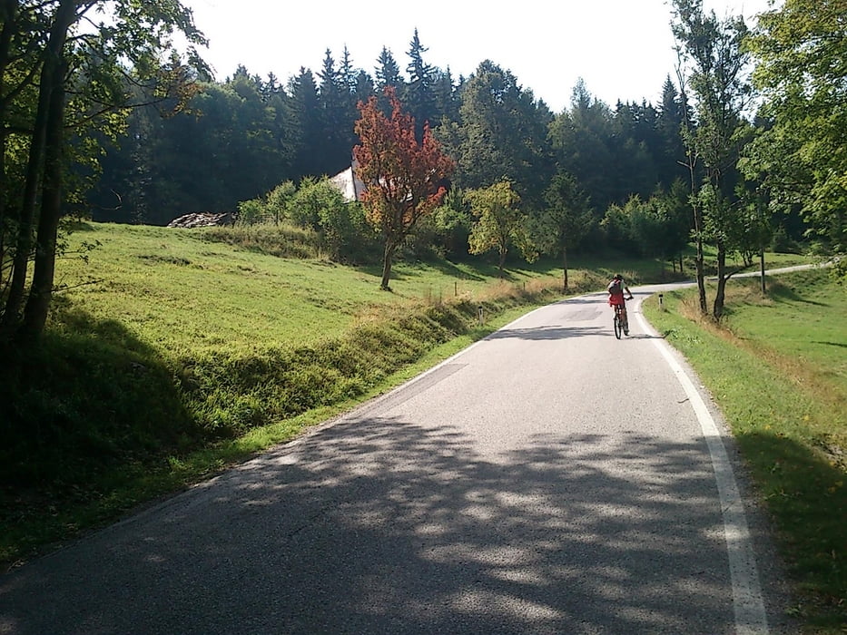
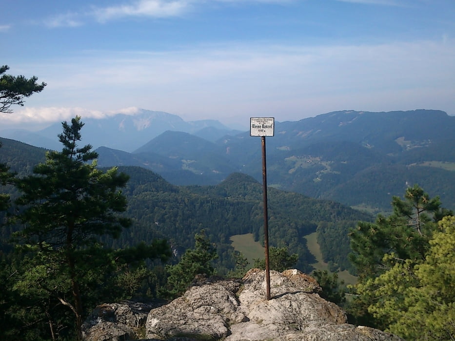
Start ist in Dreistetten am Parkplatz beim Sportplatz und dann auf einem Forstweg mit einigen Serpentinen hinauf zum Herrgottschnitzerhaus. Von dort geht es weiter auf der asphaltierten Straße zum Kohlröserlhaus. Wir fahren hinter zur Kleinen Kanzelstraße und fahren diese bis zu deren Ende beim Gasthaus zur „Kleinen Kanzel“. Dort genießen wir die herrliche Aussicht und die gute Küche.
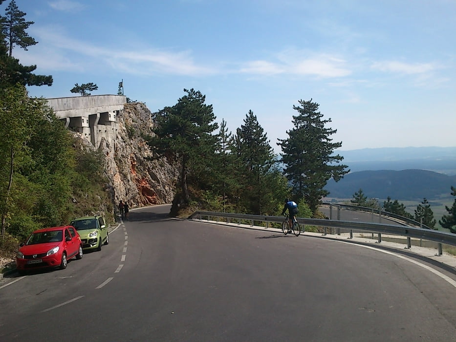
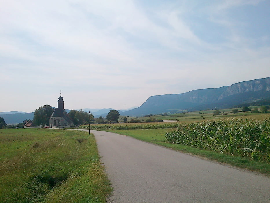
Für die Rückfahrt wählen wir wieder die Kleine Kanzelstr und biegen bei der Postl Str. Zum „Sky Walk“ ab und bestaunen die überragende Aussicht. Für die weitere Rückfahrt fahren wieder zurück zur Kleinen Kanzel Str. und fahren über die steile Mautstraße hinunter nach Muthmannsdorf und von dort zurück nach Dreistätten
Tour gallery
Tour map and elevation profile
Minimum height 401 m
Maximum height 1071 m
More about the tour author
|
|
seppwimmer |
Comments

GPS tracks
Trackpoints-
GPX / Garmin Map Source (gpx) download
-
TCX / Garmin Training Center® (tcx) download
-
CRS / Garmin Training Center® (crs) download
-
Google Earth (kml) download
-
G7ToWin (g7t) download
-
TTQV (trk) download
-
Overlay (ovl) download
-
Fugawi (txt) download
-
Kompass (DAV) Track (tk) download
-
Track data sheet (pdf) download
-
Original file of the author (gpx) download
More about the tour author
|
|
seppwimmer |
Add to my favorites
Remove from my favorites
Edit tags
Open track
My score
Rate