
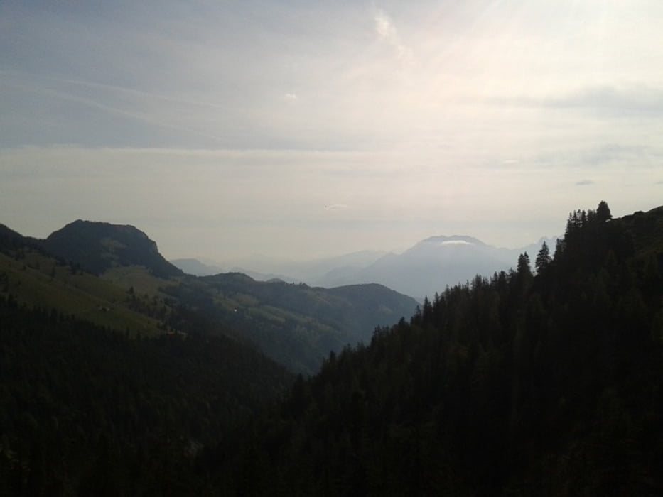

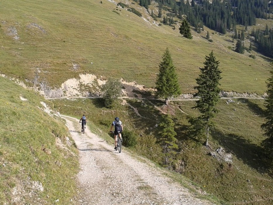
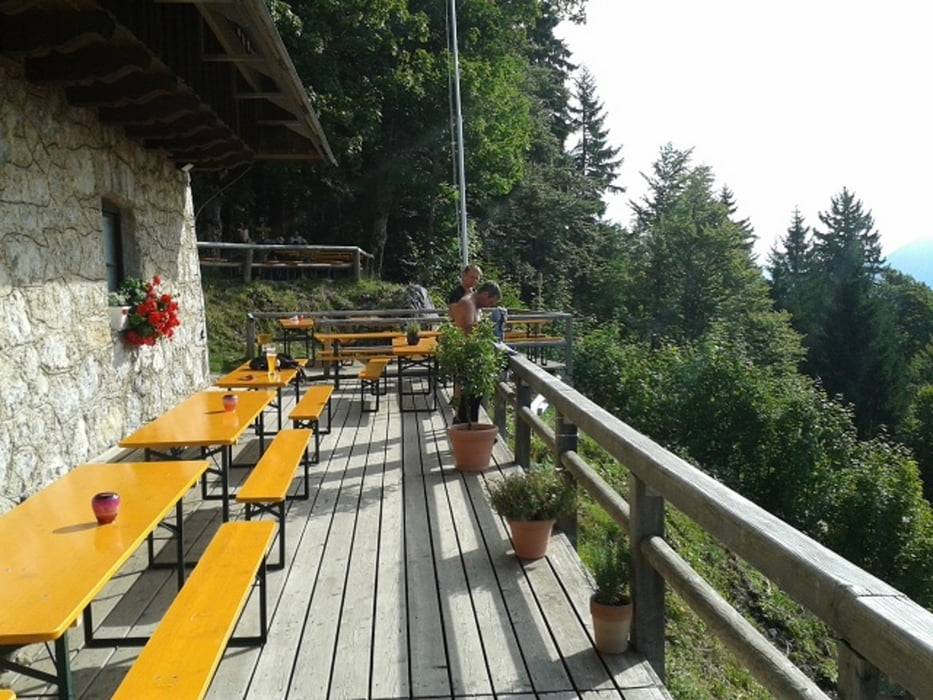
Wir starten im Ortskern von Oberaudorf in Richtung Süden. Auf der Rosenheimer Straße biegen wir rechts ab nach Breitenau und radeln von hier auf die Oberaudorfer Almen. Von dort aus auf der üblichen Straße bzw. kurzen Trage- Schiebestück auf dem herrlichen Trail zum Brünnsteinhaus. Abwärts geht es auf dem direkten Weg wieder runter und zu unserem Parkplatz in Oberaudorf.
Unsere sonst übliche Brünnsteinrunde findet ihr auch unter meinem user. Anstatt den sonst 1.238 Hm hat diese Route nur 1.095 Hm bei etwa gleicher Fahrstrecke (ca. 29,86 Km).
Zurückgelegt haben wir die Tour in 2:36 Std (Zeit in Bewegung). Bei ausgiebiger betrachtung der herrlichen Landschaft und entsprechenden Pausen sollte man insgesamt ca. 4 Stunden planen.
Tour gallery
Tour map and elevation profile
Minimum height 482 m
Maximum height 1443 m
More about the tour author
|
|
estebanrs4 |
Comments

Inntalautobahn Rosenheim-Kiefersfelden A93
Ausfahrt Oberaudorf weiter auf der Tiroler Straße nach Oberaudorf.
In Oberaudorf auf die Kufsteinerstraße am Marienplatz ist rechts ein Parkplatz.
GPS tracks
Trackpoints-
GPX / Garmin Map Source (gpx) download
-
TCX / Garmin Training Center® (tcx) download
-
CRS / Garmin Training Center® (crs) download
-
Google Earth (kml) download
-
G7ToWin (g7t) download
-
TTQV (trk) download
-
Overlay (ovl) download
-
Fugawi (txt) download
-
Kompass (DAV) Track (tk) download
-
Track data sheet (pdf) download
-
Original file of the author (gpx) download
More about the tour author
|
|
estebanrs4 |
Add to my favorites
Remove from my favorites
Edit tags
Open track
My score
Rate