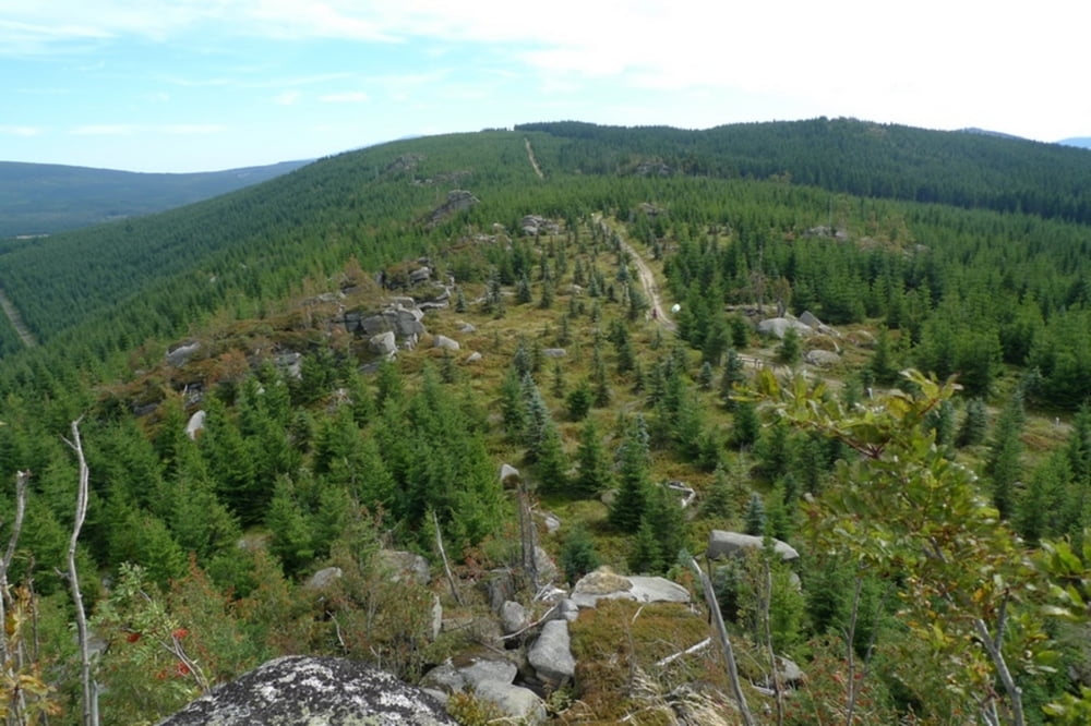
Login

Forgot your login?

Cookies have to be accepted!
Your browser's cookie functionality is disabled. Please enable this functionality.

Not a member yet?

Register now
Login

Available for registred users only

Log in to use this feature.

Forgot your login?

Cookies have to be accepted!
Your browser's cookie functionality is disabled. Please enable this functionality.

Not a member yet?

Register now
Filter
Categories
Advanced filters
  • Distance (km)
  • Height
Save filters Reset filter

TrackRank

QRCode

Technical data

Distance11,7 km Height329 m Way down329 m Duration05:00 h:m Date09.09.2013
Scores Author Landscape Fun factor Fitness Technique

Statistics

419 Views Scores 11 Downloads Average
Rate
  • Track data sheet
  • Directions
  • Downloads

Bukovec - vyhlidka

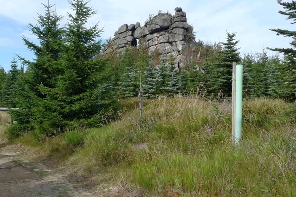
Jeleni stran - fantasticka vyhlidka

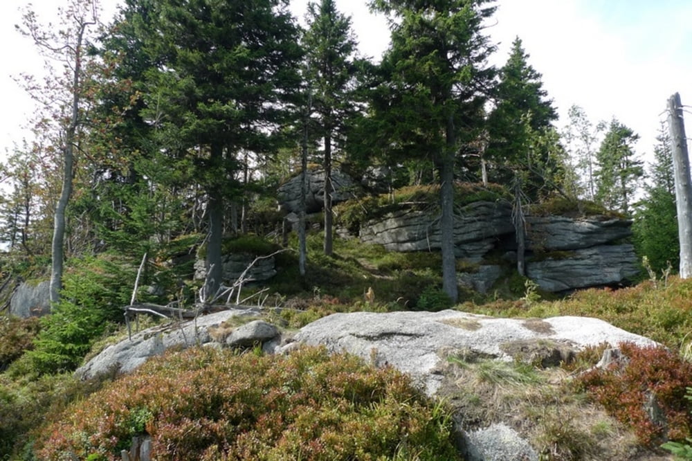
Pytlacke kameny - fantasticka vyhlidka

www.liberecky-kraj.cz/

www.izerska.pl/Jizerka_g,7,r,47.html

www.goryizerskie.pl/


Further information at

http://jizerka.ceskehory.cz/

Tour gallery

Tour map and elevation profile

  • Open Street Map
  • Google
Minimum height 856 m Maximum height 1004 m Detailed view

More about the tour author

Senecio
Member since 2008

Send private message

Comments

GPS tracks

Trackpoints
  • GPX / Garmin Map Source (gpx) download
  • TCX / Garmin Training Center® (tcx) download
  • CRS / Garmin Training Center® (crs) download
  • Google Earth (kml) download
  • G7ToWin (g7t) download
  • TTQV (trk) download
  • Overlay (ovl) download
  • Fugawi (txt) download
  • Kompass (DAV) Track (tk) download
  • Track data sheet (pdf) download
  • Original file of the author (gpx) download

More about the tour author

Senecio
Member since 2008

Send private message
Share track
Add to my favorites
Remove from my favorites
Edit tags
My score
Rate
Track: Jizerka (parkoviste)-Bukovec-Jeleni stran-Pytlacke kameny-parkoviste
Type: Hiking
Distance: 11,7 km
Evaluated on:
Duration:
Day(s)
Hour(s)
Minute(s)
Score: Landscape Fun factor Fitness Technique