Login

Forgot your login?

Cookies have to be accepted!
Your browser's cookie functionality is disabled. Please enable this functionality.

Not a member yet?

Register now
Login

Available for registred users only

Log in to use this feature.

Forgot your login?

Cookies have to be accepted!
Your browser's cookie functionality is disabled. Please enable this functionality.

Not a member yet?

Register now
Filter
Categories
Advanced filters
  • Distance (km)
  • Height
Save filters Reset filter

TrackRank

QRCode

Technical data

Distance39,9 km Height127 m Way down161 m Duration00:00 h:m Date06.04.2003
Scores Author Landscape Fun factor Fitness Technique

Statistics

1668 Views Scores 146 Downloads Average
Rate
  • Track data sheet
  • Directions
  • Downloads
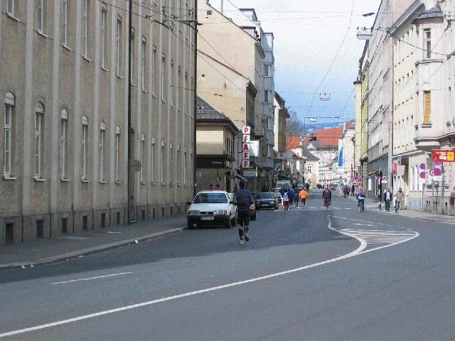
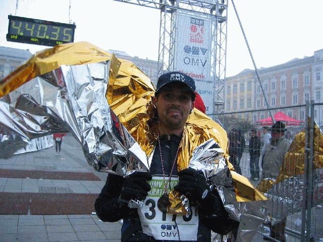
Wen´s interessiert. Hier der Linz Marathon 2003. Zusammenfassen kann man sagen, dass das Wetter ziemlich besch... war. Regen, Schnee, Wind mit Sturmstärke und das ganze bei 2°C. Also ein richtig feiner Marathon.

Tour gallery

Tour map and elevation profile

  • Open Street Map
  • Google
Minimum height 230 m Maximum height 315 m Detailed view

More about the tour author

ingo
Member since 2001

Send private message

Comments

Brucknerhaus an der Donaulände in Linz Zentrum

GPS tracks

Trackpoints
  • GPX / Garmin Map Source (gpx) download
  • TCX / Garmin Training Center® (tcx) download
  • CRS / Garmin Training Center® (crs) download
  • Google Earth (kml) download
  • G7ToWin (g7t) download
  • TTQV (trk) download
  • Overlay (ovl) download
  • Fugawi (txt) download
  • Kompass (DAV) Track (tk) download
  • Track data sheet (pdf) download

More about the tour author

ingo
Member since 2001

Send private message
Share track
Add to my favorites
Remove from my favorites
Edit tags
My score
Rate
Track: Linz Marathon 2003
Type: Running
Distance: 39,9 km
Evaluated on:
Duration:
Day(s)
Hour(s)
Minute(s)
Score: Landscape Fun factor Fitness Technique