


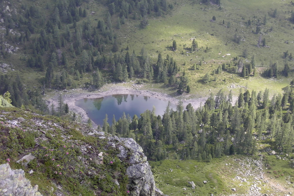
Entweder von Flattnitz aus oder von der Fürstenhütte, die auch mit dem Auto (verbotenerweise) erreichbar ist, geht es zuerst auf den Wintertalernock 2395m 2,5h und weiter ohne großen Höhenverlust (auf 1800m) auf den Eisenhut 2441m. Von dort geht es steil bergab in engen Serpentinen zum Dieslingsee 1810m und auf 1950m über den Leckenschober. Jetzt mit einigen Auf- und Ab quert man ein paar Bäche und erreicht über die Wintertalerhütte wieder den Ausgangspunkt Fürstenhütte.
Tour gallery
Tour map and elevation profile
Minimum height 1432 m
Maximum height 2446 m
More about the tour author
|
|
walderich |
Comments

Mit dem Privat-PKW nach Flattnitz und über den Kalkbrand das Hochtal mit der Fürstenhütte.
GPS tracks
Trackpoints-
GPX / Garmin Map Source (gpx) download
-
TCX / Garmin Training Center® (tcx) download
-
CRS / Garmin Training Center® (crs) download
-
Google Earth (kml) download
-
G7ToWin (g7t) download
-
TTQV (trk) download
-
Overlay (ovl) download
-
Fugawi (txt) download
-
Kompass (DAV) Track (tk) download
-
Track data sheet (pdf) download
-
Original file of the author (gpx) download
More about the tour author
|
|
walderich |
Add to my favorites
Remove from my favorites
Edit tags
Open track
My score
Rate