Login

Forgot your login?

Cookies have to be accepted!
Your browser's cookie functionality is disabled. Please enable this functionality.

Not a member yet?

Register now
Login

Available for registred users only

Log in to use this feature.

Forgot your login?

Cookies have to be accepted!
Your browser's cookie functionality is disabled. Please enable this functionality.

Not a member yet?

Register now
Filter
Categories
Advanced filters
  • Distance (km)
  • Height
Save filters Reset filter

TrackRank

QRCode

Technical data

Distance9,2 km Height466 m Way down399 m Duration03:12 h:m Date14.09.2013
Scores Author Landscape Fun factor Fitness Technique

Statistics

500 Views Scores 97 Downloads Average
Rate
  • Track data sheet
  • Directions
  • Downloads

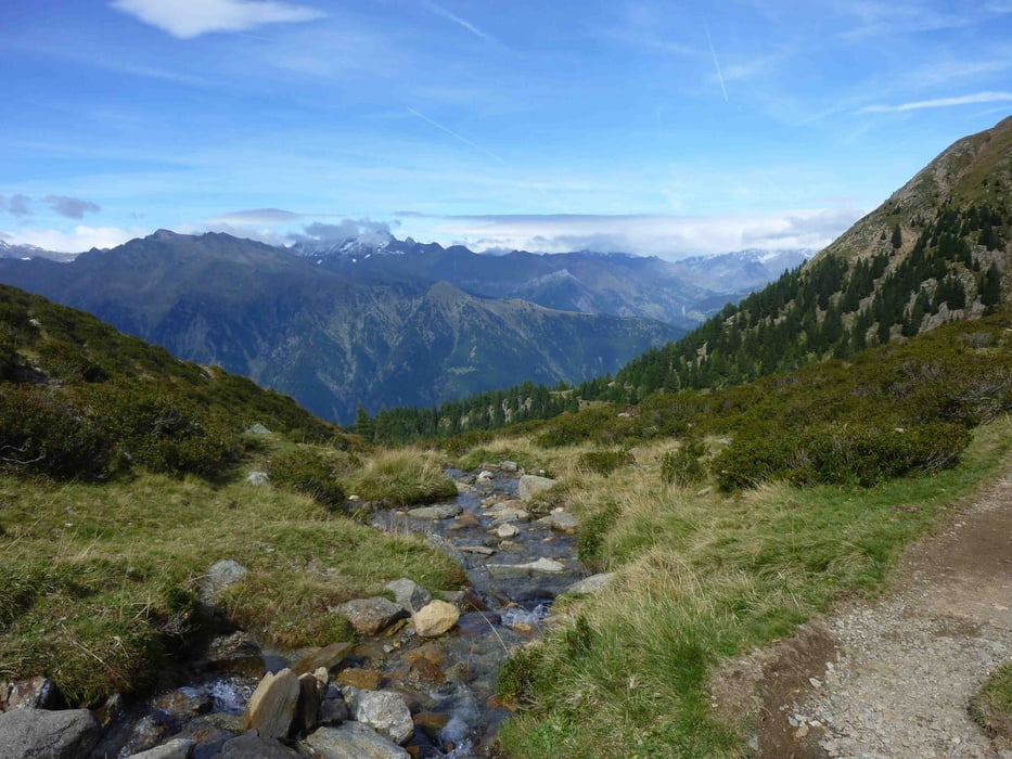
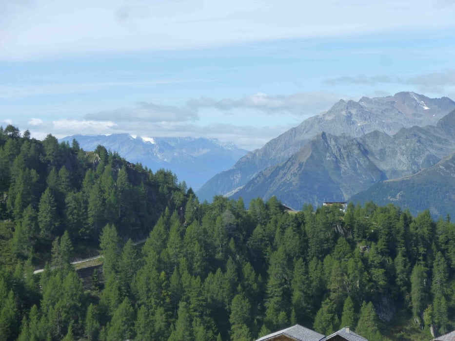
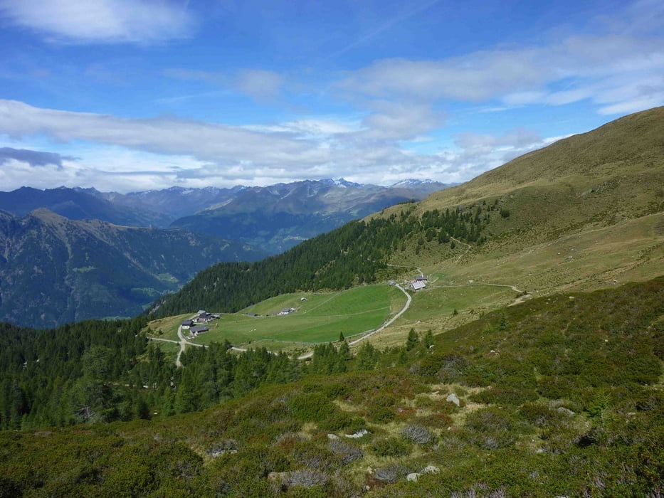
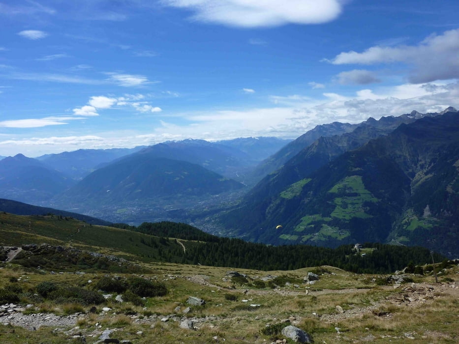
Almen -und Panoramawanderung auf 2000 Meter unterhalb vom bekannten Hirzer-Berg.

Mit der Hirzer Seilbahn rauf auf die Bergstation. Von dort beginnt die Wanderung, die herrliche Ausblicke ins Vinschgau, auf die Texelgruppe und die Berge vom Passeier Gebirge freigibt

.

Tour gallery

Tour map and elevation profile

  • Open Street Map
  • Google
Minimum height 1926 m Maximum height 2156 m Detailed view

More about the tour author

Guddy
Member since 2009

Send private message

Comments

GPS tracks

Trackpoints
  • GPX / Garmin Map Source (gpx) download
  • TCX / Garmin Training Center® (tcx) download
  • CRS / Garmin Training Center® (crs) download
  • Google Earth (kml) download
  • G7ToWin (g7t) download
  • TTQV (trk) download
  • Overlay (ovl) download
  • Fugawi (txt) download
  • Kompass (DAV) Track (tk) download
  • Track data sheet (pdf) download
  • Original file of the author (gpx) download

More about the tour author

Guddy
Member since 2009

Send private message
Share track
Add to my favorites
Remove from my favorites
Edit tags
My score
Rate
Track: Meraner Almenwanderung im Hirzergebiet
Type: Hiking
Distance: 9,2 km
Evaluated on:
Duration:
Day(s)
Hour(s)
Minute(s)
Score: Landscape Fun factor Fitness Technique