Login

Forgot your login?

Cookies have to be accepted!
Your browser's cookie functionality is disabled. Please enable this functionality.

Not a member yet?

Register now
Login

Available for registred users only

Log in to use this feature.

Forgot your login?

Cookies have to be accepted!
Your browser's cookie functionality is disabled. Please enable this functionality.

Not a member yet?

Register now
Filter
Categories
Advanced filters
  • Distance (km)
  • Height
Save filters Reset filter

TrackRank

QRCode

Technical data

Distance53,6 km Height526 m Way down542 m Duration03:30 h:m Date15.09.2013
Scores Author Landscape Fun factor Fitness Technique

Statistics

372 Views Scores 68 Downloads Average
Rate
  • Track data sheet
  • Directions
  • Downloads

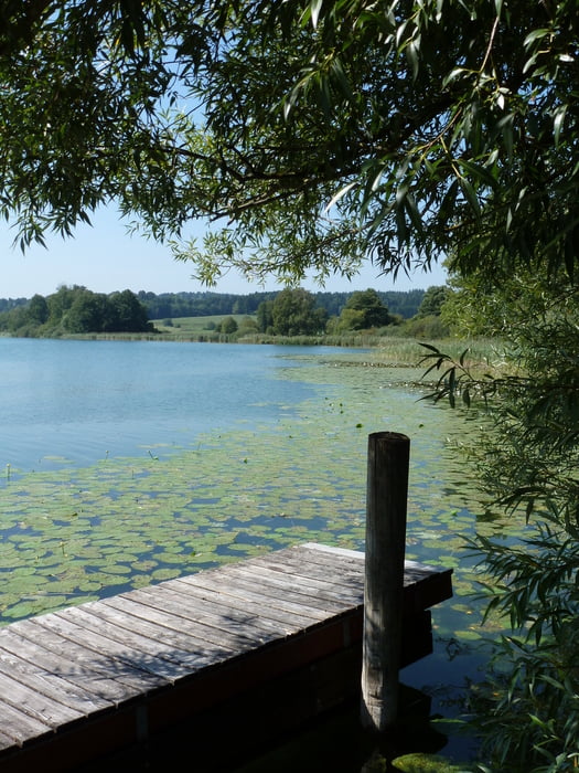
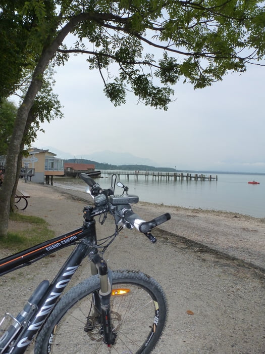
Vom Waginger See zum Chiemsee.

Start ist in Waging am See.

Über den ausgeschilderten Radweg geht es von dort zum Chiemsee und wieder zurück.

Die Tour ist mit 53 km und 526 Hm auch noch für Familien mit größeren Kindern geeignet.

Landschaftlich eine sehr reizvolle Tour mit genügend Einkehrmöglichkeiten.

Vile Spaß beim Nachfahren !!!


Further information at

http://www.chiemsee-alpenland.de/

Tour gallery

Tour map and elevation profile

  • Open Street Map
  • Google
Minimum height 442 m Maximum height 622 m Detailed view

More about the tour author

ambaibiker
Member since 2008

Send private message

Comments

GPS tracks

Trackpoints
  • GPX / Garmin Map Source (gpx) download
  • TCX / Garmin Training Center® (tcx) download
  • CRS / Garmin Training Center® (crs) download
  • Google Earth (kml) download
  • G7ToWin (g7t) download
  • TTQV (trk) download
  • Overlay (ovl) download
  • Fugawi (txt) download
  • Kompass (DAV) Track (tk) download
  • Track data sheet (pdf) download
  • Original file of the author (gpx) download

More about the tour author

ambaibiker
Member since 2008

Send private message
Share track
Add to my favorites
Remove from my favorites
Edit tags
My score
Rate
Track: Vom Waginger See zum Chiemsee
Type: Mountain bike
Distance: 53,6 km
Evaluated on:
Duration:
Day(s)
Hour(s)
Minute(s)
Score: Landscape Fun factor Fitness Technique