Login

Forgot your login?

Cookies have to be accepted!
Your browser's cookie functionality is disabled. Please enable this functionality.

Not a member yet?

Register now
Login

Available for registred users only

Log in to use this feature.

Forgot your login?

Cookies have to be accepted!
Your browser's cookie functionality is disabled. Please enable this functionality.

Not a member yet?

Register now
Filter
Categories
Advanced filters
  • Distance (km)
  • Height
Save filters Reset filter

TrackRank

QRCode

Technical data

Distance16,6 km Height1006 m Way down216 m Duration00:00 h:m Date17.09.2013
Scores Author Landscape Fun factor Fitness Technique

Statistics

322 Views Scores 43 Downloads Average
Rate
  • Track data sheet
  • Directions
  • Downloads
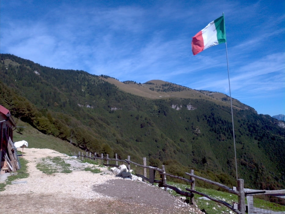
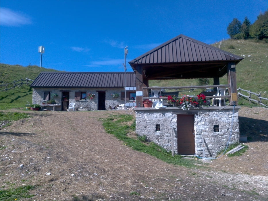
Partenza dalla piazza di Alano di Piave, si raggiunge Quero attraverso Schievenin e si risale per asfalto fino al paese di Cilladon dove inizia lo sterrato un po' smosso fino a Malga Pauda

Tour gallery

Tour map and elevation profile

  • Open Street Map
  • Google
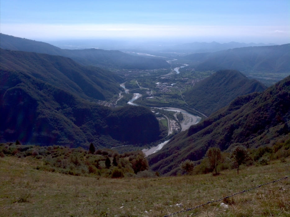
Minimum height 251 m Maximum height 1184 m Detailed view

More about the tour author

215270
Member since 2013

Send private message

Comments

GPS tracks

Trackpoints
  • GPX / Garmin Map Source (gpx) download
  • TCX / Garmin Training Center® (tcx) download
  • CRS / Garmin Training Center® (crs) download
  • Google Earth (kml) download
  • G7ToWin (g7t) download
  • TTQV (trk) download
  • Overlay (ovl) download
  • Fugawi (txt) download
  • Kompass (DAV) Track (tk) download
  • Track data sheet (pdf) download
  • Original file of the author (gpx) download

More about the tour author

215270
Member since 2013

Send private message
Share track
Add to my favorites
Remove from my favorites
Edit tags
My score
Rate
Track: Alano-Malga Pauda
Type: Mountain bike
Distance: 16,6 km
Evaluated on:
Duration:
Day(s)
Hour(s)
Minute(s)
Score: Landscape Fun factor Fitness Technique