


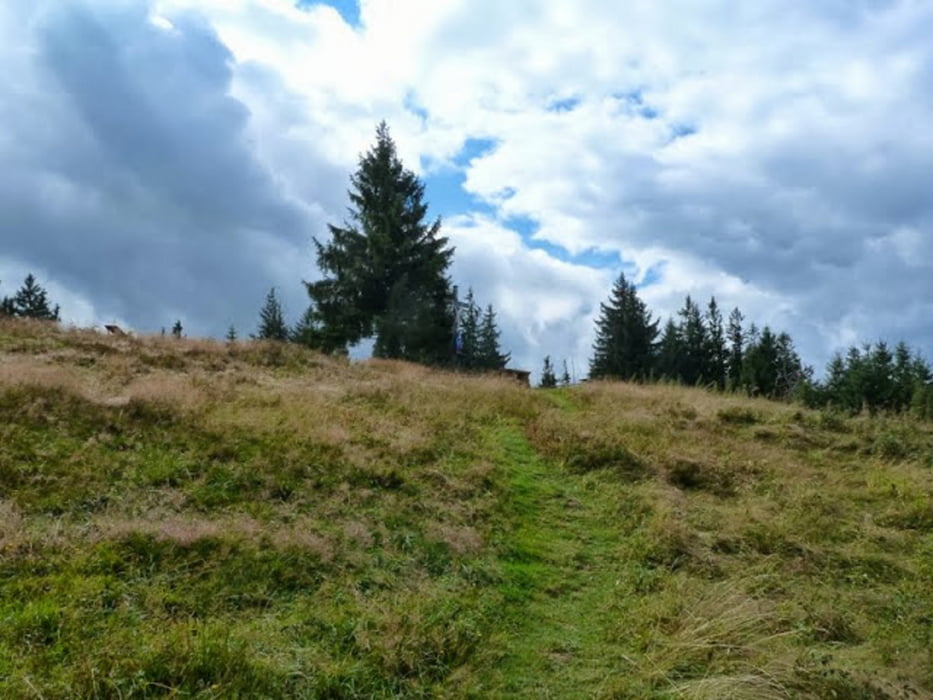
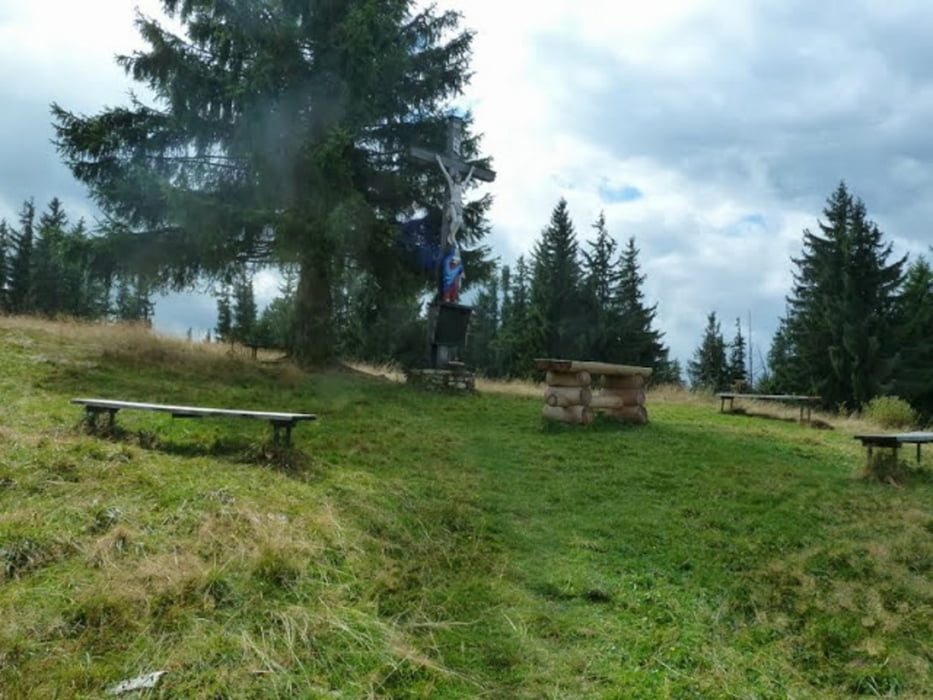
nette Wanderung zu einem nicht allzu bekannten Berg.
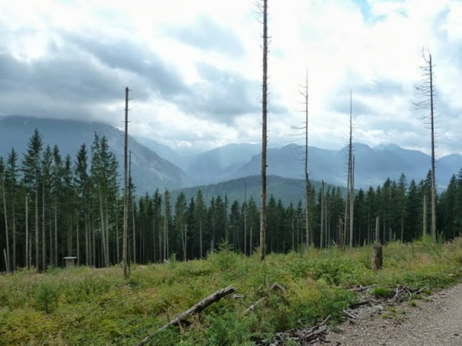
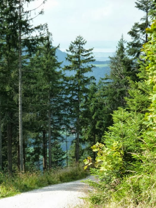
Anfangs rechts steil, größtenteils moderat auf Forstwegen, jedoch kurz vor dem Gipfel wird es wird sehr steil (1 km), hier ist gutes Schuhwerk notwendig, ein schmaler Pfad über Wurzeln und Felsplatten. Landschaftlich schön und reizvoll. Teilweise ein toller Blick Richtung Chiemsee. Der Abstieg führt über gut gehbare Wege, teils breite Schotterwege teils über steinige Pfade. Eine kleine Abkürzung sollte jedoch benutzt werden, am Bojernhof sollte man über den Hof gehen und der Ausschilderung folgen. Wir hatten diesen Weg verpasst und sind quer über eine Wiese gelaufen.
Tour gallery
Tour map and elevation profile
Minimum height 655 m
Maximum height 1235 m
More about the tour author
|
|
heikes |
Comments

gestartet wir in Lohen - kurz vor Ruhpolding, Anfahrt über die A8, Abfahrt Siegsdorf in Richtung Ruhpolding.
GPS tracks
Trackpoints-
GPX / Garmin Map Source (gpx) download
-
TCX / Garmin Training Center® (tcx) download
-
CRS / Garmin Training Center® (crs) download
-
Google Earth (kml) download
-
G7ToWin (g7t) download
-
TTQV (trk) download
-
Overlay (ovl) download
-
Fugawi (txt) download
-
Kompass (DAV) Track (tk) download
-
Track data sheet (pdf) download
-
Original file of the author (gpx) download
More about the tour author
|
|
heikes |
Add to my favorites
Remove from my favorites
Edit tags
Open track
My score
Rate