


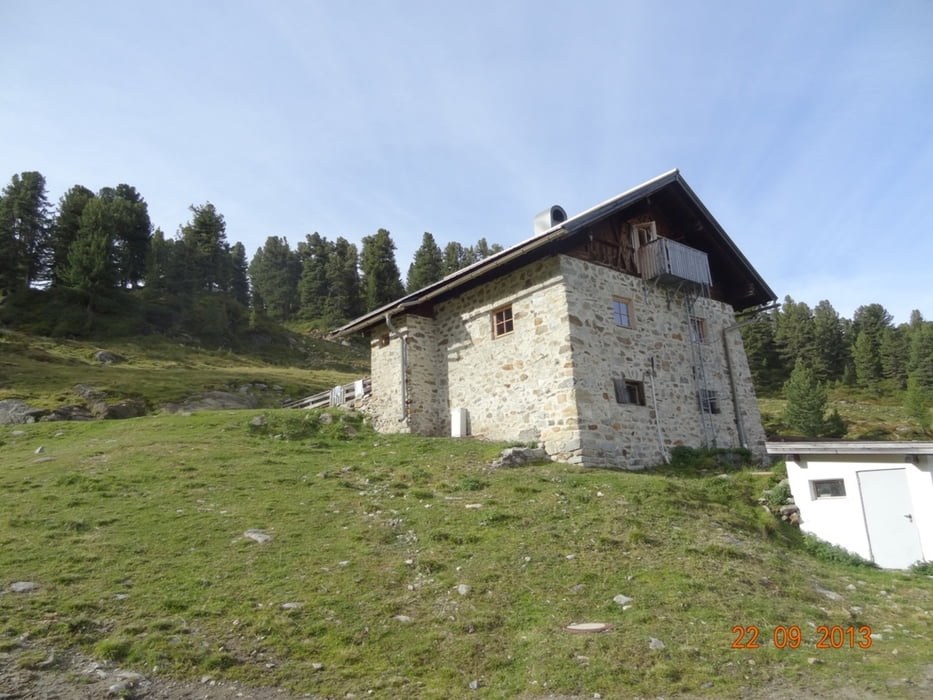
Start und Ziel Kühtaile Alm
Aus meinem Tagebuch:
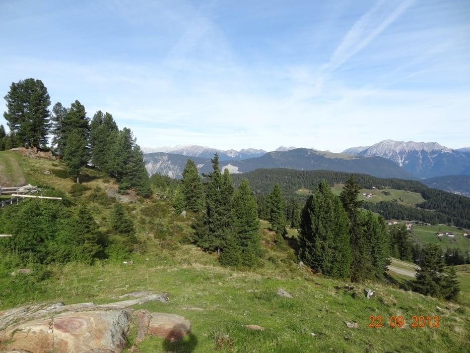
Sehenswert:
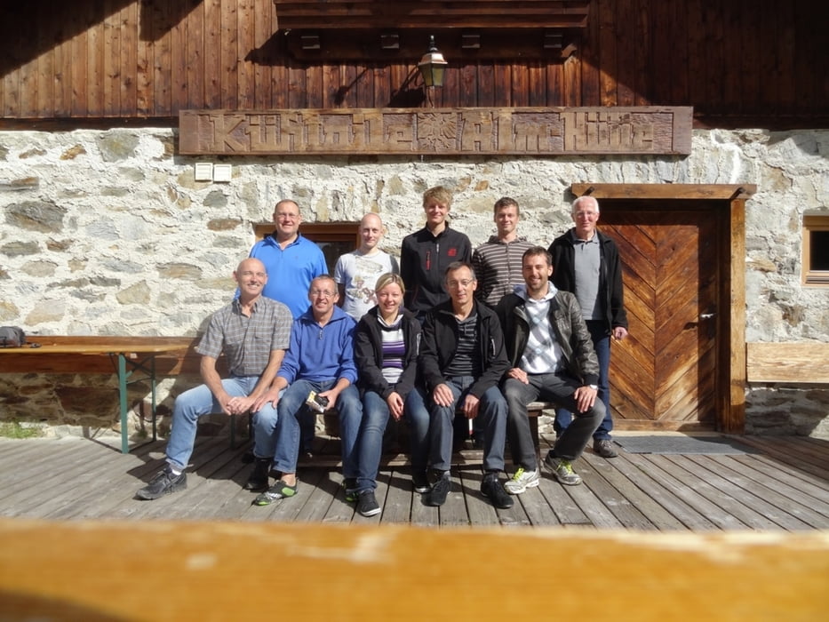
Einkehrmöglichkeit:
Schlußworte:
Radtechnik: TREK8000GPS: Garmin Etrex Vista HCX
200-11-21072018
Further information at
http://www.schenie.deTour gallery
Tour map and elevation profile
Minimum height 1924 m
Maximum height 2570 m
More about the tour author
|
|
schenie |
Comments

Anfahrt mit Pkw zur Kühtaile Alm
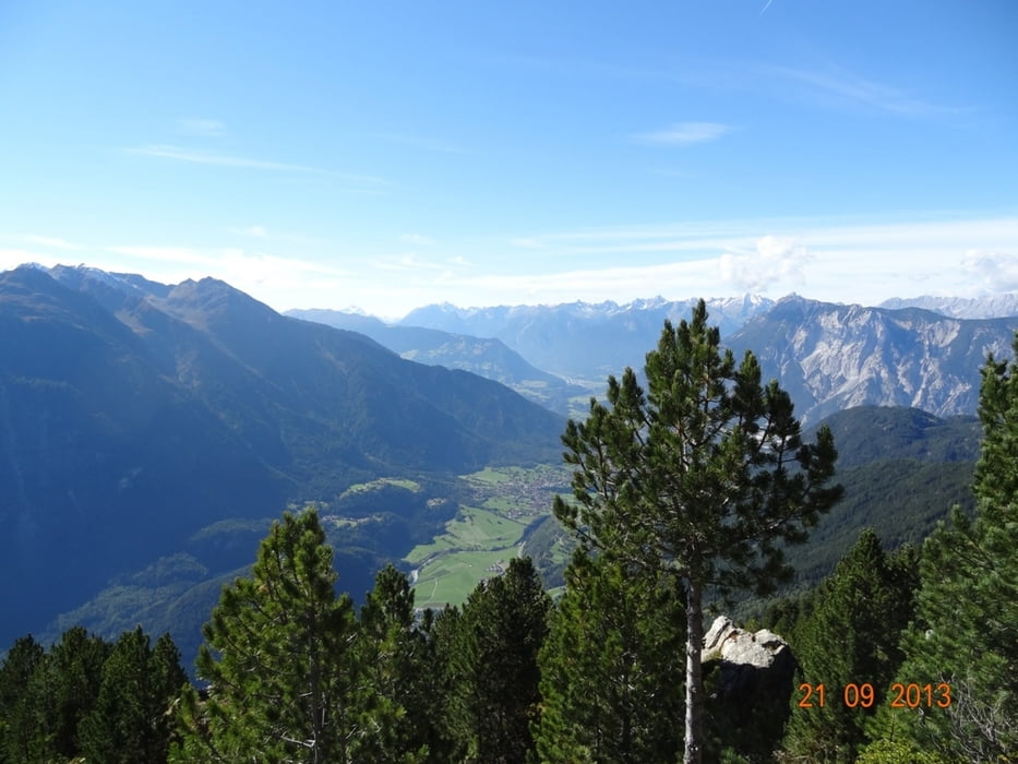
Von der Hütte aus zu Fuß auf das Wetterkreuz
Aus meinem Tagebuch:
Sehenswert:
Einkehrmöglichkeit:
Schlußworte:
Radtechnik: TREK8000GPS: Garmin Etrex Vista HCX
200-11-21072018
GPS tracks
Trackpoints-
GPX / Garmin Map Source (gpx) download
-
TCX / Garmin Training Center® (tcx) download
-
CRS / Garmin Training Center® (crs) download
-
Google Earth (kml) download
-
G7ToWin (g7t) download
-
TTQV (trk) download
-
Overlay (ovl) download
-
Fugawi (txt) download
-
Kompass (DAV) Track (tk) download
-
Track data sheet (pdf) download
-
Original file of the author (gpx) download
More about the tour author
|
|
schenie |
Add to my favorites
Remove from my favorites
Edit tags
Open track
My score
Rate