


Zunächst auf der Straße nach Le Lavandou. Von dort über die D559 und die D98 bis zum Col de Gratteloup.
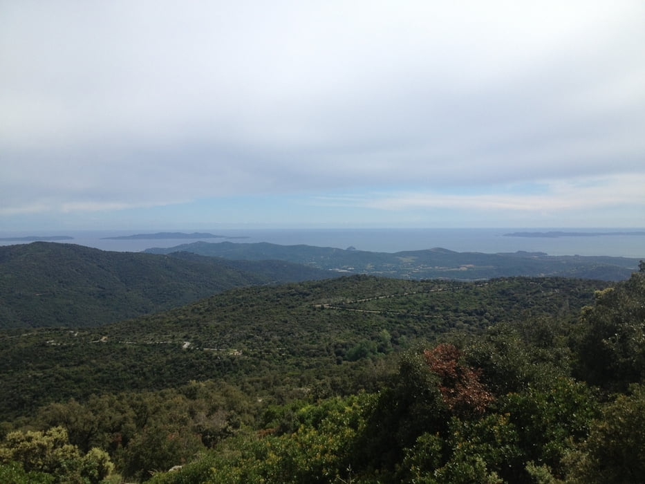
Allerdings ist es fast schöner in Le Lavandou auf die D41 nach Borme-les-Mimosas abzuweichen und weiter die D41 zum Col de Gratteloup zu fahren. Man hat auf diesem Weg auch eine schöne Aussicht auf die Küste.
Vom Col de Gratteloup fährt man auf der D41 zum Col de la Citadelle und weiter in Richtung zum Col de Babaou. Die D41 ist auf diesem Weg sehr schmal wenig befahren und schön.
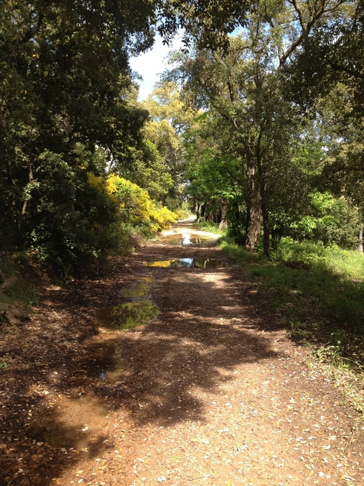
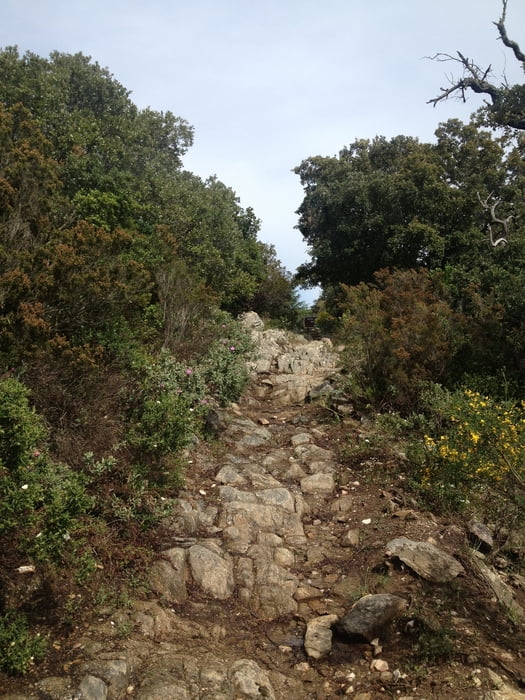
Bis hier war die Straße geteert. Ein paar Kilometer for dem Col de Babaou geht es auf einem Feldweg ab und weiter Richtung Collobrières. Ab jetzt ist der Weg nur teilweise geteert. Der Weg wird dann immer Schmäler bis er nur noch ein kleiner Pfad ist. Jetzt wird es technisch anspruchsfoll. Teilweise muss geschoben werden.
Als Rückweg kann man auf der D41 wieder zurückfahren.
Rückmeldungen und Votings sind sehr erwünscht.
Tour gallery
Tour map and elevation profile
Minimum height -16 m
Maximum height 589 m
More about the tour author
|
|
Cycling666 |
Comments

Am besten mit dem Auto nach Le Lavandou.
GPS tracks
Trackpoints-
GPX / Garmin Map Source (gpx) download
-
TCX / Garmin Training Center® (tcx) download
-
CRS / Garmin Training Center® (crs) download
-
Google Earth (kml) download
-
G7ToWin (g7t) download
-
TTQV (trk) download
-
Overlay (ovl) download
-
Fugawi (txt) download
-
Kompass (DAV) Track (tk) download
-
Track data sheet (pdf) download
-
Original file of the author (gpx) download
More about the tour author
|
|
Cycling666 |
Add to my favorites
Remove from my favorites
Edit tags
Open track
My score
Rate