


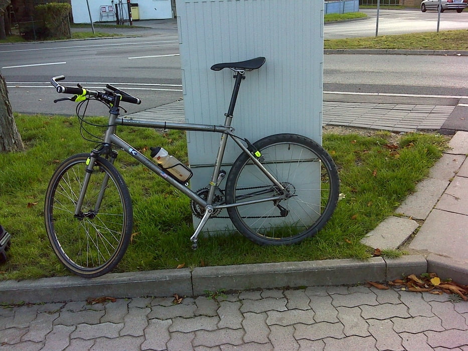
Noch eine schnelle Runde mit einem Stück das besser nicht nachgemacht wird.
Start und zuerst nach Osten am Britzer Garten vorbei bis die Mohriner Allee auf den Buckower Damm trifft. Hier nach Süden abschwenken und dann bis Kleinziehten immer geradeaus.
Nach links in Richtung Waßmannsdorf abbiegen. Den Schwenk nach rechts in die kleine Straße zum Sportplatz nicht machen. Ich kletterte die Bahnböschung hinauf und querte die Gleise. Das ist nicht empfehlenswert.
Jedenfalls bekam ich so den Geisterbahnhof von Waßmannsdorf zu Gesicht.
Es folgte ein Schwenk am BER vorbei bevor ich nach Westen fuhr und in Glasow nach Nordwest schwenkte.
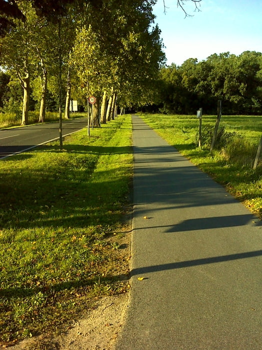
zum Schluss fuhr ich schon altbekannte Strecken auf dem Mauerweg und n Berlin zum Ausgangspunkt.
Further information at
http://ber.berlin-airport.de/Tour gallery
Tour map and elevation profile
Minimum height 42 m
Maximum height 75 m
More about the tour author
|
|
Pheinz |
Comments

Einstieg an beliebiger Stelle
GPS tracks
Trackpoints-
GPX / Garmin Map Source (gpx) download
-
TCX / Garmin Training Center® (tcx) download
-
CRS / Garmin Training Center® (crs) download
-
Google Earth (kml) download
-
G7ToWin (g7t) download
-
TTQV (trk) download
-
Overlay (ovl) download
-
Fugawi (txt) download
-
Kompass (DAV) Track (tk) download
-
Track data sheet (pdf) download
-
Original file of the author (gpx) download
More about the tour author
|
|
Pheinz |
Add to my favorites
Remove from my favorites
Edit tags
Open track
My score
Rate