


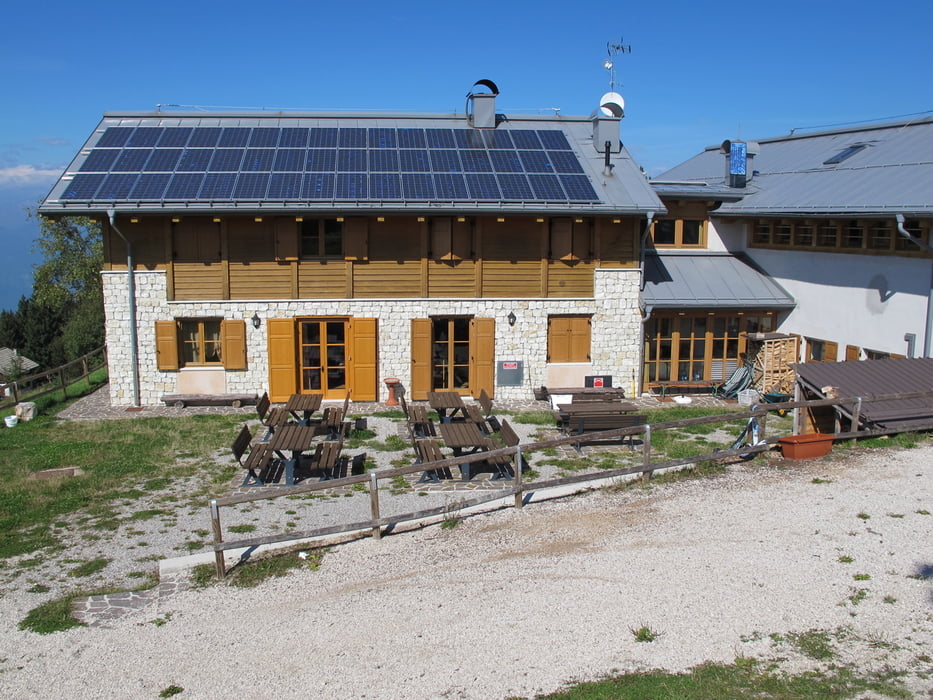
Start in Marco bei Rovereto. Von hier geht es über Trails bzw. Forststrassen nach Albaredo. Es folgt eine lange Asphaltstraße auf die Malga Zugna (bewirtschaftet). Dann folgt ein teils steiler Naturweg (ca 200 HM) zum Parco della Pace (altes Fort). Von hier nochmals ca. 100 HM zum Monte Zugna (echter Gipfel 1864 HM). Dieser Weg ist sehr steil (eventuell schieben), aber die Aussicht dort oben ist einfach super und die Mühe lohnt sich.
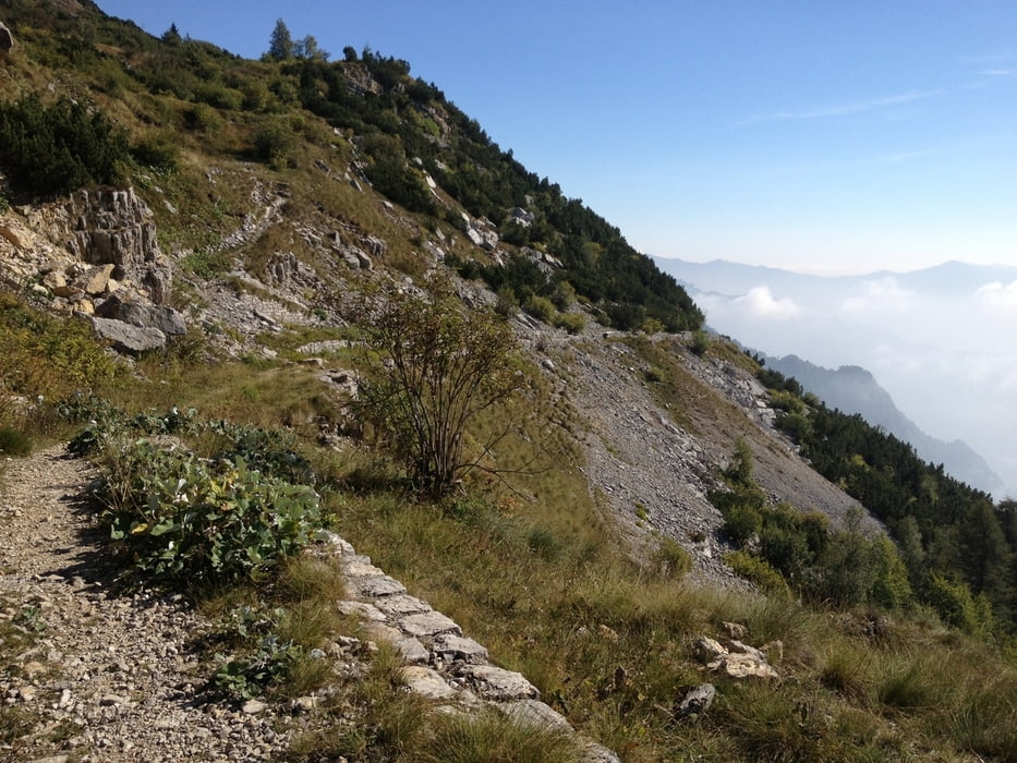
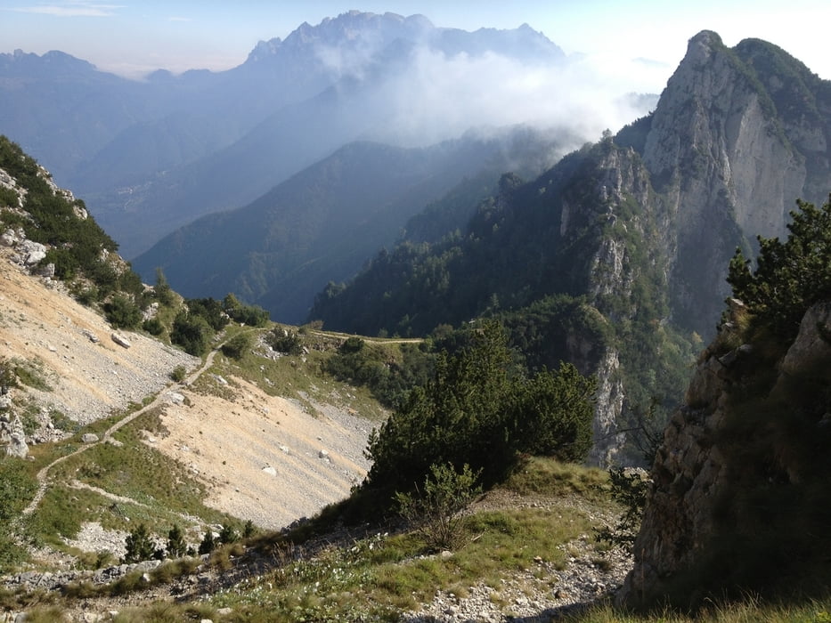
Zurück über Auffahrt zum Parco della Pace, dann geht es links (ohne Gipfelbesichtigung rechts) auf einen wirklich fantastischen Höhentrail Richtung Passo Buole. Der Trail bietet bei schönem Wetter herrliche Ausblicke und hat nur eine kurze schwierige Passage.
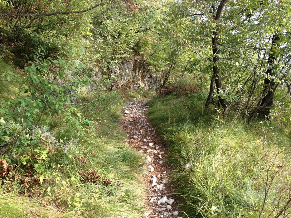
Wir folgen immer diesem Trail bis wir beim Passo Buole ankommen (großes Holzschild), hier geht es dann rechts kurz auf einer Naturstraße abwärts, bevor wir in den Singletrail „Sentiero 116“ abbiegen (Schild „116 S. Valentino“). Dieser Trail ist wirklich fast komplett fahrbar (S1-S2) und macht riesigen Spaß. Am Ende des Trails fahren wir noch ein Stück auf einer Forststrasse, bis wir auf eine Asphaltstrasse stoßen. Dieser folgen wir dann abwärts, bis wir direkt beim Kloster San Valentino ankommen. Hier nicht weiter nach unten fahren, sondern ca. 20 Meter vorher rechts in den Schotterweg Richtung „Santa Margherita“ abbiegen! Von hier geht es zuerst noch auf Schotter und dann auf dem Radweg zurück nach Marco zum Ausgangspunkt.
Tour gallery
Tour map and elevation profile
Minimum height 137 m
Maximum height 1859 m
More about the tour author

|
Crisu64 |
Comments

GPS tracks
Trackpoints-
GPX / Garmin Map Source (gpx) download
-
TCX / Garmin Training Center® (tcx) download
-
CRS / Garmin Training Center® (crs) download
-
Google Earth (kml) download
-
G7ToWin (g7t) download
-
TTQV (trk) download
-
Overlay (ovl) download
-
Fugawi (txt) download
-
Kompass (DAV) Track (tk) download
-
Track data sheet (pdf) download
-
Original file of the author (gpx) download
More about the tour author
|
|
Crisu64 |
Add to my favorites
Remove from my favorites
Edit tags
Open track
My score
Rate