


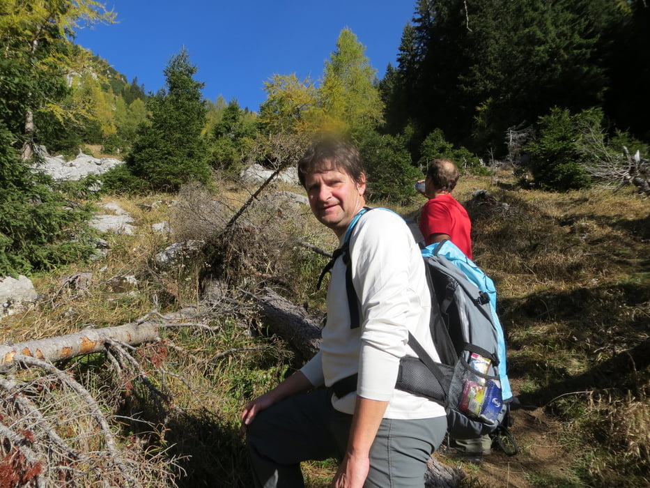
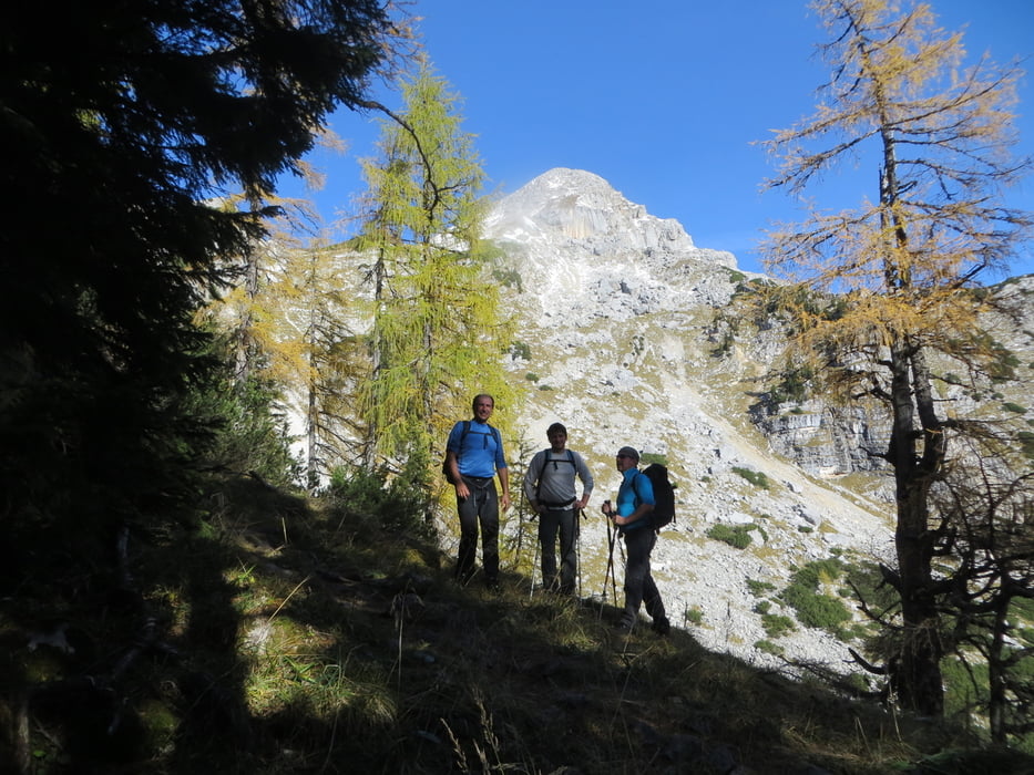
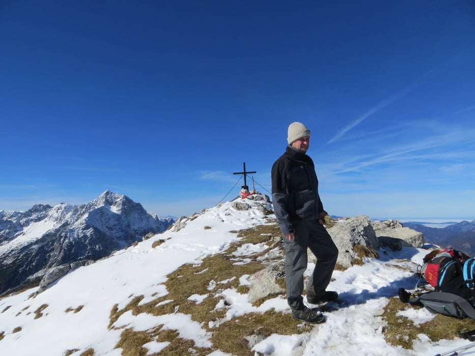
Ausgangspunkt ist kleiner Parkplatz am Prielerweg in Hinterstoder. Zuerst ½ Stunde auf einer Forststraße, anschließend führt der Weg durch Hochwald und Holzschläge steil in vielen Serpentinen zum Schnablwipfel. Über einen flachen Südgrat dann einen steilem Geröllfeld rauf zum Gipfelkreuz .
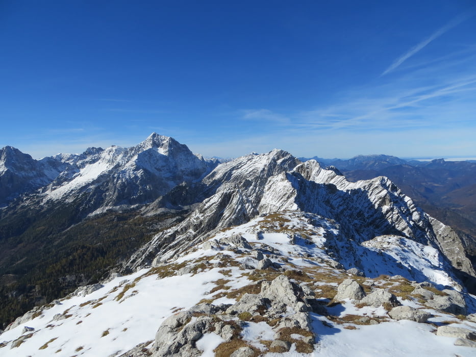
Anstrengende durchwegs steile Tour. Ab dem Schnablwipfel auch ein sehr schönes Panorama. Kleines Gipfelkreuz mit super Panorama. Keine Einkehrmöglichkeit.
mehr Bilder: seppdepp.heim.at
Tour gallery
Tour map and elevation profile
Minimum height 669 m
Maximum height 2138 m
More about the tour author
|
|
Atzbach |
Comments

GPS tracks
Trackpoints-
GPX / Garmin Map Source (gpx) download
-
TCX / Garmin Training Center® (tcx) download
-
CRS / Garmin Training Center® (crs) download
-
Google Earth (kml) download
-
G7ToWin (g7t) download
-
TTQV (trk) download
-
Overlay (ovl) download
-
Fugawi (txt) download
-
Kompass (DAV) Track (tk) download
-
Track data sheet (pdf) download
-
Original file of the author (gpx) download
More about the tour author
|
|
Atzbach |
Add to my favorites
Remove from my favorites
Edit tags
Open track
My score
Rate